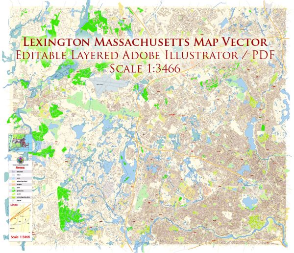
Lexington, Massachusetts, located in Middlesex County, has a rich history that spans both political and transportation developments.
Vectormap.Net provide you with the most accurate and up-to-date vector maps in Adobe Illustrator, PDF and other formats, designed for editing and printing. Please read the vector map descriptions carefully.
Here’s a detailed overview of its political and transportation history:
Political History:
Colonial Era:
- Early Settlement (1642): Lexington was settled in 1642 as part of Cambridge. It was formally incorporated as a separate town in 1713.
- American Revolution (1775): Lexington gained significant historical prominence due to the first battle of the American Revolution, the Battle of Lexington and Concord. On April 19, 1775, British troops clashed with local militia on Lexington Green, marking the beginning of the Revolutionary War.
Post-Revolutionary Period:
- Incorporation and Growth (18th-19th century): After the Revolution, Lexington grew as a farming community and developed a more diversified economy. It played a role in early American industrialization.
- Education: Lexington has a strong educational history. In 1793, the first public school in Massachusetts was established in Lexington.
- Political Influence: While not a large urban center, Lexington has contributed significantly to the political history of Massachusetts. It has been a politically active town with residents involved in various political and social movements.
Transportation History:
Early Transportation (17th-18th century):
- Colonial Roads: Early transportation in Lexington was primarily reliant on colonial roads that connected the town with neighboring communities. These roads facilitated trade and communication.
19th Century:
- Development of Turnpikes: The 19th century saw the development of turnpikes, toll roads that facilitated easier travel. These played a crucial role in connecting Lexington with other towns.
- Railroads: The arrival of the railroad in the mid-19th century revolutionized transportation. The Lexington and West Cambridge Railroad, later known as the Boston and Maine Railroad, began operations in 1846, connecting Lexington to Boston and other cities.
20th Century:
- Automobile Era: The rise of automobiles in the early 20th century led to the improvement of roads and the construction of highways. This made transportation more efficient and connected Lexington to the broader region.
- Public Transportation: The Massachusetts Bay Transportation Authority (MBTA) expanded its services, providing public transportation options to Lexington residents. Bus services and commuter rail connections enhanced connectivity.
Recent Developments (21st Century):
- Modern Highways: Lexington continues to be well-connected through modern highways, including routes like Route 2 and Interstate 95.
- Public Transit: Public transportation options have evolved, and the town remains well-linked to the broader metropolitan area through bus services and proximity to subway stations.
- Preservation of Historic Sites: Lexington has actively preserved its historic sites, including the Battle Green, where the Battle of Lexington took place. These sites attract tourists and serve as a reminder of the town’s crucial role in American history.
In summary, Lexington’s political history is intertwined with the birth of the American Revolution, while its transportation history reflects the evolution from colonial roads to a well-connected town in the modern era.


 Author: Kirill Shrayber, Ph.D. FRGS