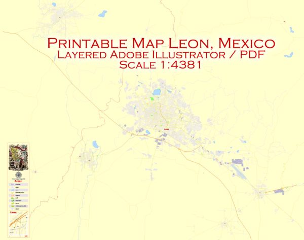
A general overview of the political and transportation history of León, Mexico.
Vectormap.Net provide you with the most accurate and up-to-date vector maps in Adobe Illustrator, PDF and other formats, designed for editing and printing. Please read the vector map descriptions carefully.
Political History:
- Colonial Era: León has a rich history dating back to the colonial era when it was founded in 1576 by Martín Enríquez de Almanza. It played a significant role in the economic development of the region.
- Independence and 19th Century: Like many Mexican cities, León was involved in the struggle for independence from Spanish rule in the early 19th century. It experienced political changes during the turbulent times of the 19th century, including the Mexican-American War and the Reform War.
- 20th Century: León continued to grow and industrialize during the 20th century, becoming an important economic center in Mexico. Political changes at the national level, including the Mexican Revolution, influenced the city’s development.
- Recent Years: León has become a major economic and industrial hub, particularly in the footwear and leather industries. The city has seen both political and economic stability, contributing to its growth.
Transportation History:
- Railways: The introduction of railways played a crucial role in the development of transportation in León. Railways facilitated the movement of goods and people, connecting León to other parts of Mexico.
- Roadways: As the city expanded and the automotive industry grew, roadways became increasingly important. Highways and roads connected León to neighboring cities and regions, enhancing transportation networks.
- Airport: Del Bajío International Airport (Guanajuato International Airport) serves León and the surrounding region. The airport has played a vital role in connecting the city to national and international destinations, supporting both business and tourism.
- Public Transportation: León has developed a public transportation system, including buses, to facilitate intra-city travel. The city has also implemented measures to address traffic congestion and improve urban mobility.
- Infrastructure Development: Over the years, infrastructure projects have aimed to improve transportation within the city and its connectivity to other parts of Mexico. These include the construction and maintenance of roads, bridges, and public transportation facilities.
For the most recent and specific information on the political and transportation history of León, it’s recommended to refer to local historical archives, government publications, or academic sources that provide up-to-date information.


 Author: Kirill Shrayber, Ph.D.