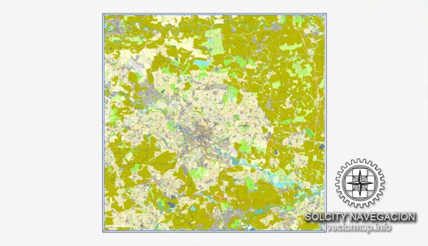
A general overview of the history and transportation infrastructure of Leeds, UK.
Vectormap.Net provide you with the most accurate and up-to-date vector maps in Adobe Illustrator, PDF and other formats, designed for editing and printing. Please read the vector map descriptions carefully.
History: Leeds has a rich history that dates back to the ancient times, with evidence of settlements in the area from at least the 5th century. However, it was during the Industrial Revolution in the 18th and 19th centuries that Leeds truly flourished. The city became a major center for textile and engineering industries, contributing significantly to the economic growth of the region. The construction of canals and later the arrival of the railway further facilitated the transportation of goods, solidifying Leeds’ position as an industrial powerhouse.
Transportation Infrastructure:
- Rail Transport:
- Leeds is a major railway hub in the United Kingdom. The city’s main railway station, Leeds Railway Station, is one of the busiest in the country. It provides excellent connectivity to various destinations across the UK.
- Road Transport:
- The city is well-connected by road, with several major motorways converging in the vicinity, including the M1 and M62. This network allows for efficient transportation of goods and people within the region and to other parts of the country.
- Bus Services:
- Leeds has an extensive bus network operated by various companies. The bus services cover both the city and the surrounding areas, providing a crucial means of public transportation for residents and visitors.
- Canals:
- During the Industrial Revolution, Leeds became a hub for the canal system, with the Leeds and Liverpool Canal being one of the most significant. While not as vital for transportation as it once was, the canals still contribute to the city’s character and are used for recreational purposes.
- Air Transport:
- Leeds Bradford International Airport serves the city and the surrounding region, providing both domestic and international flights. The airport plays a vital role in connecting Leeds to various global destinations.
- Cycling and Pedestrian Infrastructure:
- Leeds has been working to enhance its cycling and pedestrian infrastructure. The city has implemented measures to make it more accessible for cyclists and pedestrians, promoting sustainable and healthy modes of transportation.
- Future Developments:
- Like many growing cities, Leeds continues to invest in and develop its transportation infrastructure. This may include improvements to existing road networks, public transportation enhancements, and sustainable initiatives to address environmental concerns.
For the most up-to-date information, it’s recommended to check the latest sources or official city planning documents for any recent developments or changes in Leeds’ transportation infrastructure.


 Author: Kirill Shrayber, Ph.D.