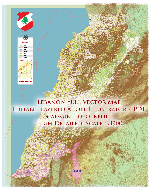
Some information about the main cities, ports, and railroads in Lebanon.
Vectormap.Net provide you with the most accurate and up-to-date vector maps in Adobe Illustrator, PDF and other formats, designed for editing and printing. Please read the vector map descriptions carefully.
Main Cities:
- Beirut:
- The capital and largest city of Lebanon.
- A major cultural and economic hub with a vibrant nightlife, historical sites, and diverse neighborhoods.
- Beirut is located on the country’s Mediterranean coastline.
- Tripoli:
- The second-largest city in Lebanon.
- Located in the north, Tripoli is known for its historic landmarks, markets, and religious diversity.
- Sidon (Saida):
- A coastal city in southern Lebanon.
- It has a rich history and features historical sites such as the Sea Castle and the Sidon Soap Museum.
- Tyre (Sour):
- A UNESCO World Heritage site, Tyre is an ancient city on the southern coast.
- It is known for its well-preserved Roman ruins, including the Roman Hippodrome and the Necropolis.
Main Ports:
- Port of Beirut:
- The primary seaport in Lebanon, located in the capital city.
- A crucial economic gateway for the country, handling a significant portion of Lebanon’s imports and exports.
- Port of Tripoli:
- Located in the northern city of Tripoli.
- It serves as another important port facilitating trade and commerce in the region.
- Port of Sidon (Saida):
- Situated in the southern city of Sidon.
- Functions as a key port for the southern part of Lebanon.
Railroads:
Lebanon’s railway network has historically been limited, and by the late 20th century, it had become largely inactive. However, there have been discussions and plans to revitalize and expand the railway infrastructure. Keep in mind that the following information might not represent the current state of Lebanon’s railroads.
- Lebanese Railway Network:
- Historically, Lebanon had a railway network connecting Beirut with places like Tripoli and the Bekaa Valley.
- Over the years, the railway system has faced challenges and was largely inactive.
- Future Plans:
- There have been discussions about reviving and expanding the railway network to improve transportation and connectivity in the country.
- Plans for modernizing and extending the rail system were being considered, but the progress may vary.


 Author: Kirill Shrayber, Ph.D. FRGS