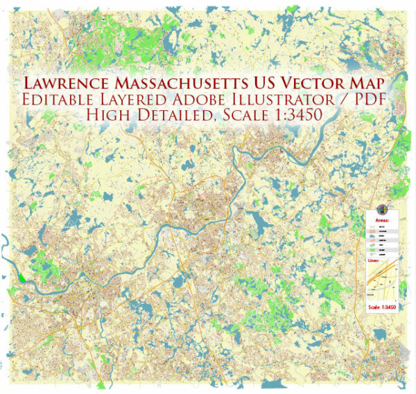
Lawrence, Massachusetts, has a rich history closely tied to its industrial past and diverse immigrant population. The city is located in Essex County, in the northeastern part of the United States.
Vectormap.Net provide you with the most accurate and up-to-date vector maps in Adobe Illustrator, PDF and other formats, designed for editing and printing. Please read the vector map descriptions carefully.
Here’s a detailed overview of the history and transportation infrastructure of Lawrence:
History:
- Founding and Industrialization (1845-1900):
- Lawrence was founded in 1845 as an industrial city, developed around textile mills. The Essex Company, led by industrialists such as Abbott Lawrence, played a key role in the city’s establishment.
- The city quickly became a major center for textile production during the Industrial Revolution. The mills attracted a diverse workforce, including Irish, German, French-Canadian, and Eastern European immigrants.
- Labor Strikes (1912):
- Lawrence is notable for the “Bread and Roses” strike of 1912, where textile workers, mainly immigrant women, protested against poor working conditions and low wages. The strike had a significant impact on labor movements in the United States.
- Immigrant Heritage:
- Lawrence has been shaped by waves of immigration, leading to a diverse cultural heritage. The Irish, French-Canadians, Italians, and later waves of immigrants contributed to the city’s cultural fabric.
- Urban Renewal (20th Century):
- Like many industrial cities, Lawrence faced economic challenges in the mid-20th century. Urban renewal efforts aimed to revitalize the city, but they also resulted in the demolition of historic structures.
- Present Day:
- Lawrence has faced economic and social challenges but continues to be a vibrant community with a mix of residential, commercial, and industrial areas.
Transportation Infrastructure:
- Railroads:
- Lawrence’s early growth was closely tied to the expansion of the railroads. The city became a transportation hub due to its strategic location on major rail lines.
- Merrimack Valley Regional Transit Authority (MVRTA):
- The MVRTA provides public transportation services in the Merrimack Valley, serving Lawrence and surrounding communities. Bus routes connect Lawrence to neighboring towns and cities.
- Highways:
- Lawrence is accessible via major highways, including Interstate 495 and Route 28. These roadways facilitate transportation to and from the city.
- Airports:
- Lawrence is within proximity to several airports, including Boston Logan International Airport, providing air travel options for residents and businesses.
- River Transportation:
- The Merrimack River, which flows through Lawrence, historically played a crucial role in the transportation of goods during the city’s industrial era. While not as central to transportation today, the river remains a notable geographical feature.
- Bicycle and Pedestrian Infrastructure:
- Efforts have been made to improve bicycle and pedestrian infrastructure in Lawrence, promoting alternative modes of transportation and creating a more walkable city.
In summary, Lawrence, Massachusetts, has a deep-rooted history tied to industrialization and immigration. Its transportation infrastructure has evolved to include a mix of railroads, highways, public transit, and waterways, reflecting the city’s historical and geographical significance.


 Author: Kirill Shrayber, Ph.D.