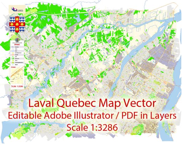
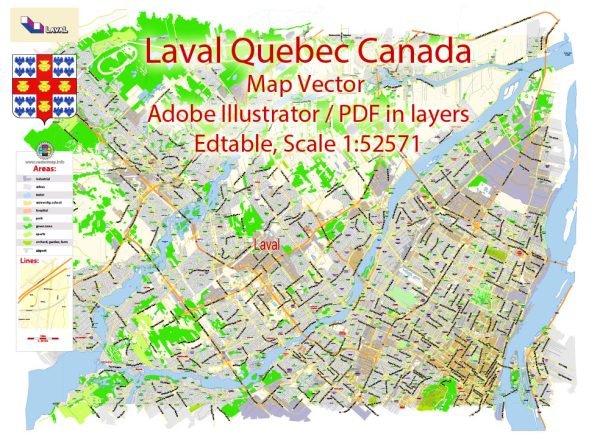
Some general information about Laval, Quebec, Canada, and its industrial history and road system.
Vectormap.Net provide you with the most accurate and up-to-date vector maps in Adobe Illustrator, PDF and other formats, designed for editing and printing. Please read the vector map descriptions carefully.
Industrial History: Laval is a city in the province of Quebec, located to the north of Montreal. Historically, Laval was primarily an agricultural community, but over the years, it has undergone significant industrialization and urbanization.
- Early Industry: The area’s early industries included farming, logging, and milling. The presence of rivers, including the Rivière des Mille Îles, provided a source of water power for mills.
- Post-World War II: Like many regions in North America, Laval experienced significant industrial growth in the post-World War II era. This period saw the expansion of manufacturing, particularly in sectors like aerospace, technology, and food processing.
- Aerospace Sector: Laval is home to a notable aerospace industry, with several aerospace companies establishing their presence in the region. This sector has played a crucial role in the economic development of Laval.
- Technology and Innovation: The city has also seen growth in the technology and innovation sectors, attracting companies involved in research and development.
- Diversification: Over the years, Laval has diversified its economic base, encompassing industries such as pharmaceuticals, biotechnology, and logistics.
Road System: Laval has a well-developed road infrastructure to support its growing population and economic activities.
- Highways: Laval is accessible via several major highways, including Autoroute 15 (Laurentian Autoroute) and Autoroute 13. These highways connect Laval to Montreal and other regions in Quebec.
- Arterial Roads: The city has an extensive network of arterial roads, providing connectivity within its various neighborhoods and facilitating the movement of goods and people.
- Bridges and Tunnels: Laval is connected to Montreal by several bridges and tunnels spanning the Rivière des Prairies. Notable crossings include the Pont Viau and the Pont Lachapelle.
- Public Transportation: In addition to roads, Laval has a public transportation system, including buses and the Laval Metro, providing residents with alternative means of transportation.
- Urban Planning: The city has undergone urban planning initiatives to manage traffic and ensure efficient transportation. This includes considerations for sustainable development and improved public transit options.
For the latest and most accurate information on Laval’s industrial history and road system, it is recommended to consult local government sources, historical archives, or recent publications that focus on the city’s development.


 Author: Kirill Shrayber, Ph.D. FRGS