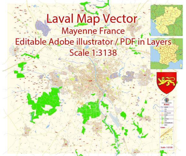
A history and transportation infrastructure of Laval, Mayenne, France, a general overview based on historical and geographical factors.
Vectormap.Net provide you with the most accurate and up-to-date vector maps in Adobe Illustrator, PDF and other formats, designed for editing and printing. Please read the vector map descriptions carefully.
History:
Early History:
Laval, located in the Mayenne department of the Pays de la Loire region in northwestern France, has a rich history dating back to ancient times. The area has evidence of human settlement from prehistoric times, and over the centuries, it has been influenced by various cultures and civilizations.
Medieval Period:
Laval played a significant role during the medieval period. The Château de Laval, a medieval fortress, stands as a testament to this era. The city developed as a key center of trade and commerce due to its strategic location along the Mayenne River.
Renaissance and Modern Times:
During the Renaissance, Laval experienced cultural and architectural advancements. The city’s historical center boasts well-preserved medieval and Renaissance buildings, contributing to its charm.
Transportation Infrastructure:
Roads:
Laval is well-connected by road networks. Major highways facilitate travel to and from the city, linking it with other significant urban centers in the region. These roads contribute to the transportation of goods and people, supporting economic activities.
Railways:
The city has a railway station, connecting it to the broader French rail network. This railway infrastructure is essential for both passenger and freight transport, providing efficient links to nearby towns and cities.
Waterways:
The Mayenne River plays a crucial role in Laval’s transportation history. In the past, it served as a means of transporting goods and people. While not as prominent today, the river still contributes to the city’s overall transportation infrastructure.
Public Transportation:
Within the city, there are likely public transportation options such as buses to facilitate local commuting. The development of a sustainable and efficient public transportation system is crucial for meeting the daily travel needs of residents and visitors.
Air Transportation:
Laval may not have its own airport, but regional airports in nearby cities contribute to the air transportation options for residents and visitors. Nantes Atlantique Airport is one such major airport in the region.
Recent Developments:
Infrastructure evolves over time, with modernization efforts aiming to enhance connectivity and efficiency. Recent developments in Laval’s transportation infrastructure may include upgrades to roads, investments in public transportation, and efforts to integrate emerging technologies for smarter and more sustainable transportation solutions.
For the most accurate and up-to-date information, it’s recommended to check with local authorities, official city websites, or recent publications on Laval, Mayenne, France.


 Author: Kirill Shrayber, Ph.D.