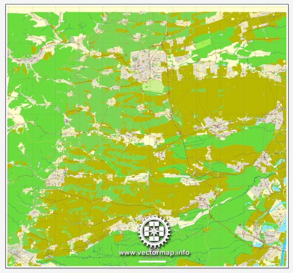
A general overview of the economic and transportation aspects of Landau in der Pfalz, Germany.
Vectormap.Net provide you with the most accurate and up-to-date vector maps in Adobe Illustrator, PDF and other formats, designed for editing and printing. Please read the vector map descriptions carefully.
Economic Overview:
Landau in der Pfalz, commonly known as Landau, is a city in the Rhineland-Palatinate region of Germany. The city has a diverse economy that includes various sectors:
- Industry and Manufacturing: Landau has a mix of small to medium-sized manufacturing industries. These may include automotive suppliers, machinery production, and other traditional manufacturing activities.
- Commerce and Services: The city has a well-developed commercial sector with shops, restaurants, and other service-oriented businesses contributing to the local economy.
- Education and Research: Landau is home to the University of Koblenz-Landau, which has its main campus in the city. The presence of the university contributes to the local economy through research activities, student spending, and related services.
- Agriculture: The surrounding region, being part of the Palatinate wine region, likely engages in agriculture, particularly viticulture. Wine production and related tourism may play a role in the local economy.
Transportation Overview:
Landau is well-connected in terms of transportation, both within the city and with the surrounding regions:
- Roads: Landau is accessible by major roads and highways, facilitating the movement of goods and people. The A65 Autobahn runs near the city, providing a direct connection to larger cities like Karlsruhe and Ludwigshafen.
- Public Transportation: The city likely has a well-developed public transportation system, including buses and possibly regional trains. This helps residents and visitors navigate the city and connect with other areas in the region.
- Rail Transport: Landau has a train station that connects it to the German railway network. This allows for efficient travel to nearby cities and regions. The railway station likely serves both regional and long-distance train routes.
- Air Transport: While Landau itself may not have an airport, residents and businesses can access air travel through nearby airports. The closest major airport is likely the Karlsruhe/Baden-Baden Airport (about an hour’s drive away), with Frankfurt Airport being a major international hub within a few hours’ reach.
It’s important to check for the latest updates and changes, as economic and transportation landscapes can evolve over time. For the most accurate and current information, consider consulting local sources or official city and regional websites.


 Author: Kirill Shrayber, Ph.D. FRGS