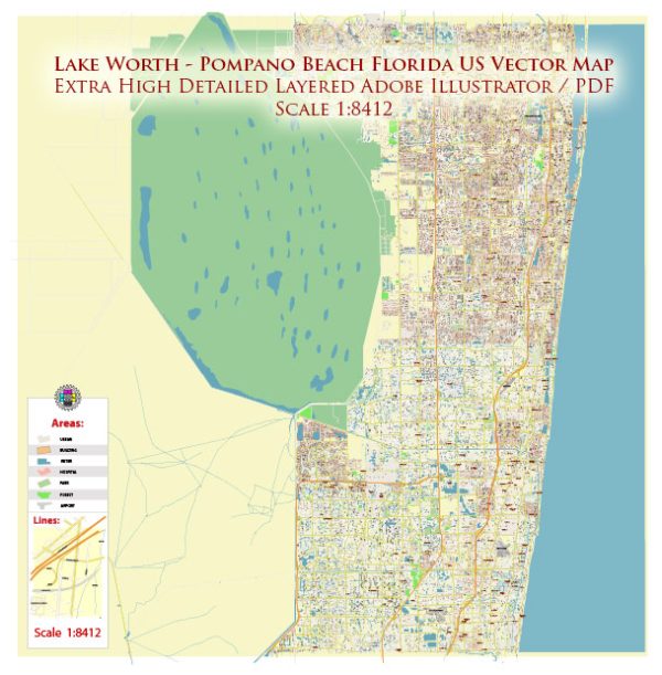
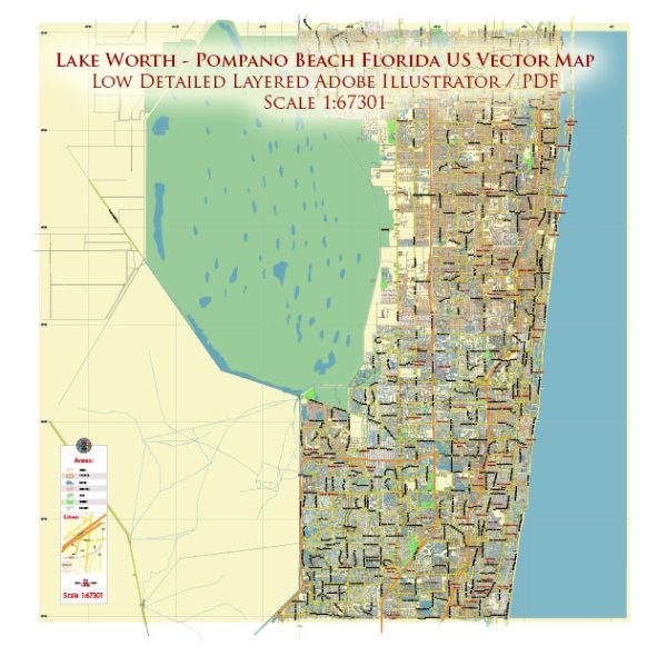
A general overview of the road network in the Lake Worth and Pompano Beach, Florida US.
Vectormap.Net provide you with the most accurate and up-to-date vector maps in Adobe Illustrator, PDF and other formats, designed for editing and printing. Please read the vector map descriptions carefully.
Lake Worth:
Major Roads:
- I-95: Interstate 95 runs through the western part of Lake Worth, providing a major north-south route.
- US Highway 1 (Federal Highway): This is a major north-south road, running parallel to I-95 but closer to the eastern coast.
Streets and Avenues:
Lake Worth is laid out in a grid pattern, with numbered streets running east-west and lettered avenues running north-south. The downtown area, including Lake Avenue and Lucerne Avenue, is often a focal point for local businesses.
Pompano Beach:
Major Roads:
- I-95: Interstate 95 continues southward, running through Pompano Beach.
- Florida’s Turnpike: This toll road is accessible in the western part of Pompano Beach, providing another north-south option.
A1A (Ocean Boulevard):
Running along the eastern coast, A1A provides scenic views of the Atlantic Ocean. It’s a popular route for those wanting a coastal drive.
Streets and Boulevards:
Pompano Beach also has a grid-like street layout. East-west roads often have the term “Boulevard” in their names, and north-south roads may be called “Avenue” or “Drive.”


 Author: Kirill Shrayber, Ph.D. FRGS