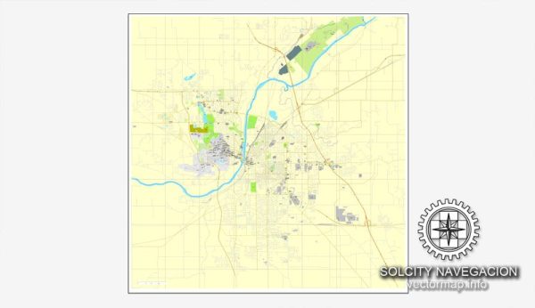
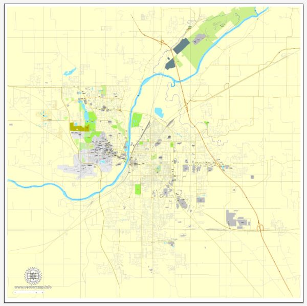
A general overview of the economic and transportation aspects of Lafayette, Indiana.
Vectormap.Net provide you with the most accurate and up-to-date vector maps in Adobe Illustrator, PDF and other formats, designed for editing and printing. Please read the vector map descriptions carefully.
Economic Overview:
1. Diverse Economy:
- Lafayette has a diverse economy with contributions from manufacturing, healthcare, education, and agriculture.
- Purdue University, located in West Lafayette (across the Wabash River), plays a significant role in driving the local economy, fostering innovation, and contributing to research and development.
2. Manufacturing:
- Manufacturing has historically been a vital component of Lafayette’s economy. The city is home to various manufacturing facilities, including those in the automotive and aerospace industries.
3. Agriculture:
- The surrounding region has a strong agricultural presence, contributing to Lafayette’s economy. Farms and related industries play a role in the local economic landscape.
4. Education:
- Purdue University is a major economic driver. It not only provides education but also supports research, technology transfer, and entrepreneurial activities, contributing to the knowledge-based economy in the region.
5. Healthcare:
- The healthcare sector, including hospitals and medical services, also contributes significantly to the local economy.
6. Retail and Services:
- Retail and services cater to the local population and the student community from Purdue University.
Transportation Overview:
1. Highways:
- Lafayette is well-connected by highways, including Interstate 65, which runs north-south, providing easy access to major cities like Indianapolis and Chicago.
2. Rail:
- Rail transportation is present in Lafayette, facilitating the movement of goods and materials. The city has rail connections that contribute to its industrial and manufacturing activities.
3. Airports:
- Purdue University Airport serves general aviation needs in the area.
- The nearest major commercial airport is Indianapolis International Airport, which is approximately 65 miles away.
4. Public Transportation:
- Lafayette has a public bus system operated by CityBus, providing transportation within the city and connecting it with West Lafayette and Purdue University.
5. River Transportation:
- The Wabash River runs near Lafayette, historically playing a role in transportation. However, its significance for modern transportation has diminished.
6. Bicycle and Pedestrian Infrastructure:
- Efforts have been made to enhance bicycle and pedestrian infrastructure, promoting alternative modes of transportation within the city.
7. Growth and Infrastructure Development:
- Lafayette has seen ongoing efforts for infrastructure development to accommodate the needs of a growing population and sustain economic activities.
For the most current and detailed information on Lafayette’s economy and transportation, it’s recommended to consult recent local government reports, economic development agencies, and news sources.


 Author: Kirill Shrayber, Ph.D.