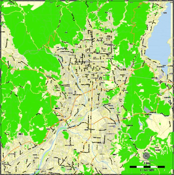
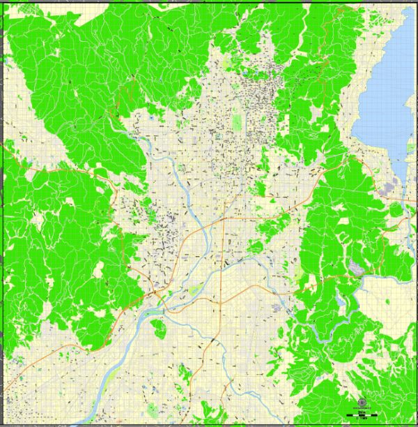
Kyoto, the former imperial capital of Japan, has a rich urban history that spans over a thousand years. The city’s history is closely intertwined with the development of Japanese culture, art, and politics.
Vectormap.Net provide you with the most accurate and up-to-date vector maps in Adobe Illustrator, PDF and other formats, designed for editing and printing. Please read the vector map descriptions carefully.
Here’s a detailed overview of Kyoto’s urban history and its street system:
Historical Overview:
1. Foundation and Early Periods (794 – 1185):
- Kyoto, originally known as Heian-kyo, was established in 794 by Emperor Kammu as the new imperial capital.
- The city was designed based on Chinese geomantic principles, with a grid layout inspired by Chang’an (now Xi’an) in China.
- Heian-kyo became the center of Japanese politics and culture during the Heian Period (794-1185), witnessing the flourishing of literature, poetry, and aristocratic culture.
2. Medieval Period (1185 – 1603):
- Kyoto continued to be the imperial capital during the Kamakura (1185-1333) and Muromachi (1336-1573) periods.
- The city expanded with the rise of samurai influence and the establishment of Zen Buddhism.
- Notable landmarks like Kinkaku-ji (Golden Pavilion) and Ginkaku-ji (Silver Pavilion) were constructed during this time.
3. Edo Period (1603 – 1868):
- Kyoto experienced a decline in political power as Tokugawa Ieyasu established the Tokugawa shogunate in Edo (modern-day Tokyo).
- Despite the political shift, Kyoto remained a cultural and artistic center, fostering traditional arts such as tea ceremony, ikebana, and Noh theater.
4. Meiji Restoration and Modernization (1868 onwards):
- The Meiji Restoration in 1868 saw the imperial capital move to Tokyo, and Kyoto lost its status as the political center.
- The city underwent modernization but retained its historical and cultural significance.
- Many historical buildings and temples were preserved, contributing to Kyoto’s designation as a UNESCO World Heritage Site.
5. 20th Century to Present:
- Kyoto played a significant role during World War II as a target for potential Allied bombings due to its cultural importance. However, it was spared from destruction.
- Post-war Kyoto continued to evolve, balancing modernization with preservation efforts to maintain its historical character.
- Today, Kyoto is a popular tourist destination, known for its well-preserved historical sites, traditional arts, and annual festivals.
Street System:
1. Grid Layout:
- Heian-kyo was designed with a grid pattern known as the Shichijo-kyo layout, consisting of nine north-south streets and nine east-west streets, forming a perfect grid of 81 city blocks.
- The city center featured the Imperial Palace and government buildings.
2. Historical Streets:
- Kyoto’s historical streets are lined with traditional machiya (wooden townhouses), tea houses, and merchant shops.
- Notable streets include the Ninenzaka and Sannenzaka, leading to Kiyomizu-dera, and the Philosopher’s Path, known for its cherry blossoms and temples.
3. Modern Transportation:
- While preserving its historical character, Kyoto has adapted to modern transportation needs with buses, subways, and railways.
- The city’s main transportation hub is Kyoto Station, a modern architectural marvel.
4. Preservation Efforts:
- Kyoto has implemented strict zoning and preservation regulations to maintain the historical integrity of its streets.
- Many traditional neighborhoods, such as Gion and Higashiyama, showcase the city’s commitment to preserving its cultural heritage.
In summary, Kyoto’s urban history is a fascinating journey through the evolution of Japanese culture and governance. The city’s street system reflects its ancient roots while adapting to the demands of the modern era, making it a unique blend of tradition and progress.


 Author: Kirill Shrayber, Ph.D. FRGS