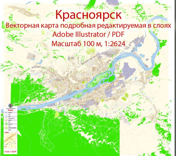
Krasnoyarsk, a major city in Siberia, Russia, has a rich industrial history that dates back to the 17th century. The city is located on the Yenisei River and has played a crucial role in the economic development of the region.
Vectormap.Net provide you with the most accurate and up-to-date vector maps in Adobe Illustrator, PDF and other formats, designed for editing and printing. Please read the vector map descriptions carefully.
Here is a detailed overview of the industrial history and road system in Krasnoyarsk:
Industrial History:
- Early Settlement and Fur Trade (17th-18th centuries):
- The area around Krasnoyarsk was initially settled by Russians in the 17th century, primarily for fur trading.
- The city’s strategic location on the Yenisei River facilitated transportation and trade.
- Expansion and Industrialization (19th century):
- The 19th century saw the expansion of Krasnoyarsk with the development of industries such as timber processing, metalworking, and coal mining.
- The Trans-Siberian Railway, which reached Krasnoyarsk in the early 20th century, played a significant role in connecting the city to other parts of Russia and promoting industrial growth.
- Soviet Era (20th century):
- During the Soviet era, Krasnoyarsk became an important industrial center, hosting various heavy industries, including metallurgy, machinery production, and chemical manufacturing.
- The city played a vital role in the production of military equipment and supplies during World War II.
- Post-Soviet Period (1990s onward):
- The collapse of the Soviet Union in the early 1990s led to economic challenges, affecting many industries in Krasnoyarsk.
- However, efforts have been made to diversify the economy, with a focus on technology, research, and the development of natural resources.
- Key Industries:
- Krasnoyarsk is known for its metallurgical complex, including aluminum production plants and the KrAZ (Krasnoyarsk Aluminum Smelter).
- The city also has a strong presence in hydroelectric power generation due to the Yenisei River, with several hydroelectric plants in the region.
Road System:
- Transportation Network:
- Krasnoyarsk is well-connected by road, with a network that facilitates both local and regional transportation.
- The city is a major transportation hub along the Trans-Siberian Highway, an important federal highway that connects Moscow to Vladivostok.
- Road Infrastructure Development:
- Over the years, there have been ongoing efforts to develop and modernize the road infrastructure in and around Krasnoyarsk.
- Upgrades to existing roads and the construction of new highways have aimed to improve connectivity and support economic activities.
- Challenges:
- The vast size and challenging climatic conditions of Siberia present unique challenges for maintaining a reliable road system. Harsh winters and remote locations can impact road conditions.
- Future Developments:
- Continued investment in road infrastructure is expected to enhance transportation links, supporting economic development and improving the overall quality of life for residents.
In summary, Krasnoyarsk’s industrial history reflects its evolution from a fur-trading outpost to a significant industrial center, while its road system plays a crucial role in connecting the city to the rest of Russia and facilitating economic activities. Ongoing efforts in both industrial and infrastructure development contribute to the city’s continued growth and importance in the region.


 Author: Kirill Shrayber, Ph.D.