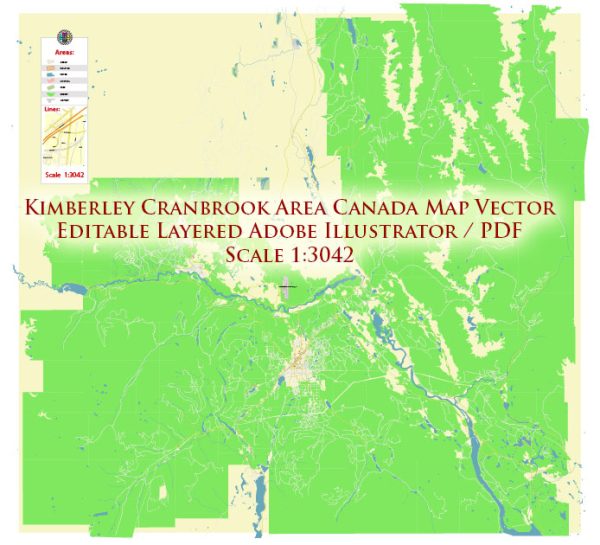
Some general information about Kimberley and Cranbrook in British Columbia, Canada, in terms of their economic and transport connections.
Vectormap.Net provide you with the most accurate and up-to-date vector maps in Adobe Illustrator, PDF and other formats, designed for editing and printing. Please read the vector map descriptions carefully.
Kimberley, British Columbia:
Economic Overview:
- Tourism: Kimberley is known for its tourism, with attractions such as the Kimberley Alpine Resort, Trickle Creek Golf Resort, and the Underground Mining Railway drawing visitors.
- Mining Heritage: Historically, Kimberley’s economy was centered around mining, especially lead and zinc.
Transport Connections:
- Roads: Kimberley is accessible by road, and the major highway serving the region is the Crowsnest Highway (Highway 3).
- Air: The Canadian Rockies International Airport, located approximately 20 kilometers northeast of Kimberley, provides air connectivity.
Cranbrook, British Columbia:
Economic Overview:
- Healthcare and Education: Cranbrook serves as a regional service hub with significant contributions from healthcare and education sectors.
- Forestry: Forestry has historically been an important economic driver, with lumber and related industries playing a crucial role.
- Agriculture: The surrounding area supports agricultural activities.
Transport Connections:
- Roads: Cranbrook is well-connected by road, with the Trans-Canada Highway (Highway 1) passing nearby. Highways 3 and 95 also serve the area.
- Rail: The Canadian Pacific Railway (CPR) passes through Cranbrook, supporting freight transport.
- Air: The Canadian Rockies International Airport serves Cranbrook, providing air travel options.
Regional Connections:
- Road Network: The road network connects Kimberley and Cranbrook to each other and to other nearby communities. Highways and roads facilitate the movement of goods and people.
- Public Transport: Public transportation options may include buses, especially for commuting within the towns and nearby areas.
- Proximity: Kimberley and Cranbrook are relatively close geographically, which allows for easy movement between the two communities.
It’s important to check for updates on local economic developments, infrastructure projects, and any changes in transport connectivity, as these aspects can evolve over time. For the most current and specific information, consider contacting local authorities, municipal offices, or regional transportation agencies.


 Author: Kirill Shrayber, Ph.D.