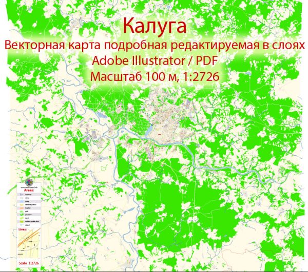
Some general information about Kaluga, Russia, including its economic and transport connections.
Vectormap.Net provide you with the most accurate and up-to-date vector maps in Adobe Illustrator, PDF and other formats, designed for editing and printing. Please read the vector map descriptions carefully.
Economic Overview:
1. Industrial Base:
- Kaluga is known for its diverse industrial base, with key sectors including automotive, aerospace, and manufacturing.
- The region has attracted significant foreign investment, particularly in the automotive industry, with several major international companies establishing production facilities.
2. Automotive Industry:
- The Kaluga region is home to the Kaluga Special Economic Zone (SEZ), which has facilitated the development of a robust automotive cluster.
- Major automotive companies like Volkswagen, Volvo, and Peugeot-Citroen have manufacturing plants in the region.
3. Aerospace and Hi-Tech:
- Kaluga has also been focusing on the aerospace and hi-tech sectors, with the development of the Kaluga Space Cluster and the Kaluga Region Innovation Cluster.
4. Agriculture:
- Agriculture is another significant contributor to the economy of Kaluga, with the region known for its fertile soil and agricultural production.
Transport Connections:
1. Road Transport:
- Kaluga is well-connected by road, and it plays a crucial role as a transportation hub. The M3 highway connects Moscow with Kaluga, providing a vital link between the capital and the region.
- The road network within the city and the surrounding areas facilitates the movement of goods and people.
2. Rail Transport:
- The railway infrastructure in Kaluga is an essential part of the transportation system. The city is connected to the broader Russian rail network, enabling the efficient movement of goods.
3. Air Transport:
- Kaluga is served by the Grabtsevo Airport, which has both cargo and passenger terminals. The airport facilitates air transportation, including cargo shipments and passenger flights.
4. River Transport:
- The Oka River, flowing through Kaluga, historically played a role in transportation. However, its significance has diminished compared to other modes of transport.
5. Public Transport:
- Kaluga has a local public transportation system, including buses and trolleybuses, to meet the commuting needs of the residents.
Special Economic Zones and Investment:
- The Kaluga Special Economic Zone (SEZ) has been a crucial factor in attracting foreign direct investment (FDI) and fostering economic development.
- Various incentives, tax breaks, and infrastructure support are provided within the SEZ to encourage businesses to set up operations in Kaluga.
Keep in mind that economic and transportation landscapes can change, so it’s advisable to check more recent sources for the latest information on Kaluga’s economic and transport connections.


 Author: Kirill Shrayber, Ph.D.