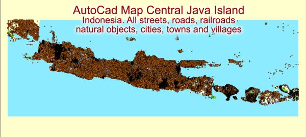
Vector Maps of the Java : lying between Sumatra and Bali, is a volcano-dotted island that’s at the geographic and economic center of Indonesia, and home to more than half its people. Java’s largest city is modern, sprawling Jakarta, the nation’s capital. It’s home to the expansive National Museum, an old town (Kota Tua) with Dutch colonial buildings, as well as upscale hotels and shopping malls.
Area: 128,297 km²
Elevation: 3,676 m
Download royalty free, editable vector maps of Java island Indonesia in high resolution digital PDF and Adobe Illustrator format.
Vectormap.Net provide you with the most accurate and up-to-date vector maps in Adobe Illustrator, PDF and other formats, designed for editing and printing. Please read the vector map descriptions carefully.


 Author: Kirill Shrayber, Ph.D. FRGS