Some general information about Indianapolis, Indiana.
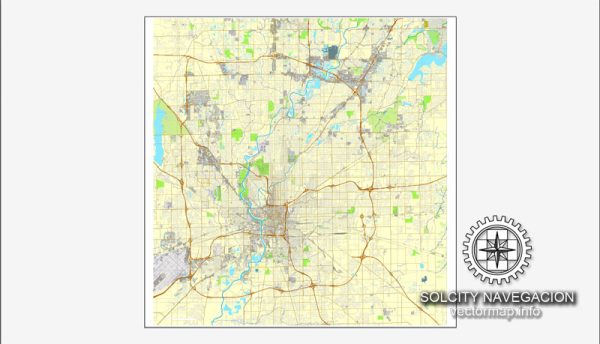
Vectormap.Net provide you with the most accurate and up-to-date vector maps in Adobe Illustrator, PDF and other formats, designed for editing and printing. Please read the vector map descriptions carefully.
Main Coordinates (Indianapolis, Indiana):
- Latitude: 39.7684° N
- Longitude: 86.1581° W
Total Area:
- The total land area of Indianapolis is approximately 368 square miles (952 square kilometers).
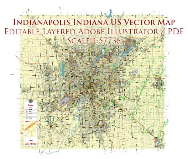
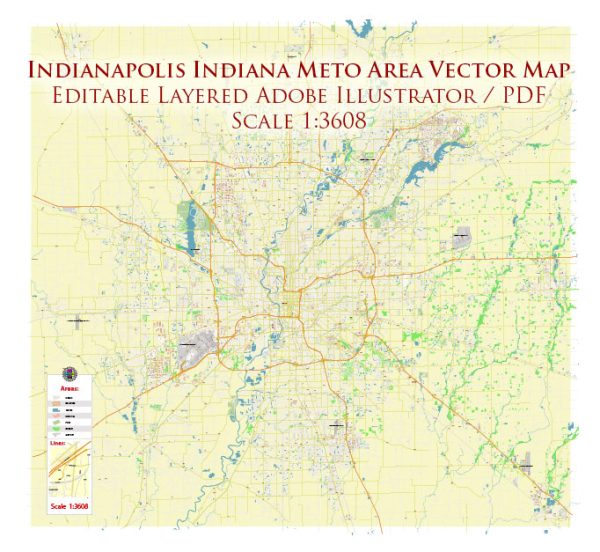
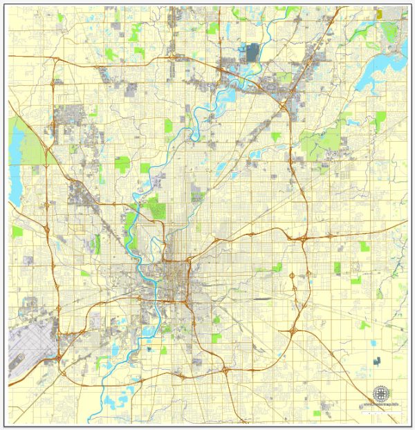
Main Streets and Roads: Indianapolis has an extensive road network, and some of the main streets and roads include:
- Meridian Street: One of the city’s primary north-south thoroughfares.
- Capitol Avenue: Runs north-south and is known for its proximity to the Indiana State Capitol building.
- Washington Street: A major east-west street that cuts through the downtown area.
- Interstate 465 (I-465): A beltway that encircles the city.
- Interstate 70 (I-70): A major east-west interstate that passes through Indianapolis.
- Interstate 65 (I-65): A north-south interstate connecting the city to Louisville and Chicago.
- Interstate 69 (I-69): Connects Indianapolis to Fort Wayne and beyond.
Please note that developments, construction projects, and changes in infrastructure may have occurred since my last update, so it’s advisable to consult recent maps or local sources for the latest information on Indianapolis’s main streets and roads.

 Author: Kirill Shrayber, Ph.D.