History of Illinois:
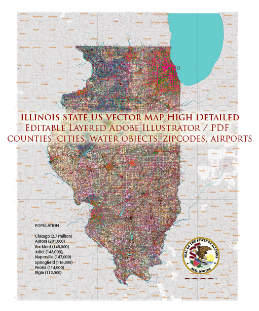
Vectormap.Net provide you with the most accurate and up-to-date vector maps in Adobe Illustrator, PDF and other formats, designed for editing and printing. Please read the vector map descriptions carefully.
- Pre-European Contact: Before European settlers arrived, the region now known as Illinois was home to various Native American tribes, including the Illinois Confederation, Miami, Shawnee, and others. These indigenous peoples engaged in agriculture and trade.
- European Exploration and Colonization: French explorers Jacques Marquette and Louis Jolliet explored the Mississippi River in 1673, and French settlements were established. The area came under British control after the French and Indian War in 1763.
- Statehood and Early Growth: Illinois became the 21st state in 1818. The construction of the Erie Canal and the growth of river trade contributed to the state’s economic development. Chicago, located on Lake Michigan, became a key transportation hub.
- Civil War and Industrialization: During the Civil War, Illinois played a significant role, providing troops and supplies. The post-war era saw rapid industrialization, with Chicago becoming a major industrial and commercial center.
- 20th Century: Illinois continued to grow economically and became a major player in industries like manufacturing and agriculture. Chicago’s role as a transportation and trade hub solidified.
- Modern Era: Illinois faced economic challenges in the latter half of the 20th century, with deindustrialization affecting some regions. However, Chicago remained a global city, and the state diversified its economy.
Transportation Infrastructure:
- Roads and Highways:
- Illinois has an extensive network of highways, including several major interstate highways like I-55, I-57, I-64, I-70, and I-80.
- Chicago, with its dense road network, is a major transportation hub.
- Railways:
- Historically, Illinois played a crucial role in the development of the railroad industry. Chicago became a major railway center, earning the nickname “Railroad Capital of the World.”
- Today, Illinois remains a key rail transportation hub, with major freight railroads converging in Chicago.
- Airports:
- Chicago O’Hare International Airport is one of the busiest airports globally, connecting Illinois to various national and international destinations.
- Midway International Airport in Chicago is another major airport serving the region.
- Waterways:
- Illinois is connected to the Mississippi River through the Illinois Waterway, allowing for barge transportation. The Port of Chicago is also important for maritime trade on the Great Lakes.
- Public Transportation:
- Chicago has an extensive public transportation system, including the Chicago Transit Authority (CTA) buses and trains.
- Metra provides commuter rail services connecting Chicago to its suburbs.
- Infrastructure Projects:
- Illinois has ongoing infrastructure projects to improve transportation, including road expansions, bridge maintenance, and public transit upgrades.
In summary, Illinois has a rich history, from Native American settlements to becoming a vital part of the United States. Its transportation infrastructure, shaped by its historical role as a hub for trade and industry, continues to evolve to meet the needs of its residents and businesses.


 Author: Kirill Shrayber, Ph.D. FRGS