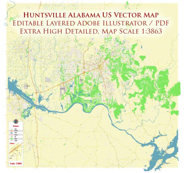
A general overview of the road and railroad infrastructure in Huntsville, Alabama.
Vectormap.Net provide you with the most accurate and up-to-date vector maps in Adobe Illustrator, PDF and other formats, designed for editing and printing. Please read the vector map descriptions carefully.
Road Infrastructure:
- Interstate Highways:
- Huntsville is well-connected to the Interstate Highway System. Interstate 565 (I-565) is a major east-west freeway that connects Huntsville to Interstate 65 (I-65) and Interstate 20 (I-20).
- U.S. Highways:
- U.S. Highway 72 (US 72) is a significant route passing through Huntsville, connecting the city to Chattanooga, Tennessee, to the east and Memphis, Tennessee, to the west.
- State Highways:
- Alabama State Route 53 (SR 53) and Alabama State Route 255 (SR 255) are among the state highways that provide additional connectivity within and around Huntsville.
- Local Roads:
- A network of local roads and streets serves the city, providing access to residential, commercial, and industrial areas.
- Bridges:
- Bridges, such as the Interstate 565 bridge over the Tennessee River, play a crucial role in connecting different parts of the city.
Railroad Infrastructure:
- Norfolk Southern Railway:
- Huntsville is served by the Norfolk Southern Railway, a major Class I railroad. The railroad plays a key role in transporting freight, including industrial and manufacturing goods.
- Huntsville and Madison County Railroad Authority (HMCR):
- The HMCR is a short-line railroad that operates in the Huntsville area. It provides rail services for local industries and businesses.
- Railroad Facilities:
- Huntsville has various railroad facilities, including freight yards and intermodal terminals, facilitating the efficient movement of goods by rail.
- Passenger Rail:
- While Huntsville doesn’t have a traditional passenger rail service, there have been discussions and plans to explore the possibility of introducing passenger rail connections in the region.
It’s important to check for any updates or changes in the infrastructure, as developments in transportation can occur over time. Local transportation authorities and city planning departments are reliable sources for the latest information on roads and railroads in Huntsville, Alabama.


 Author: Kirill Shrayber, Ph.D.