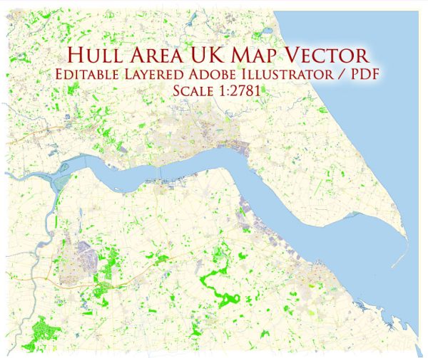
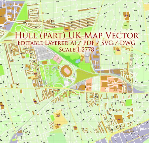
Hull, officially known as Kingston upon Hull, is a port city situated in East Yorkshire, England. The city has a rich history dating back centuries, and its development has been influenced by its maritime and trading activities.
Vectormap.Net provide you with the most accurate and up-to-date vector maps in Adobe Illustrator, PDF and other formats, designed for editing and printing. Please read the vector map descriptions carefully.
Here’s a detailed overview of the history and main streets of Hull:
History:
- Medieval Period:
- Hull’s origins can be traced back to the late 12th century when it was founded by monks from Meaux Abbey as a port for exporting wool. The town received its first charter in 1299.
- 17th Century:
- In the 17th century, Hull played a crucial role during the English Civil War. It was a Parliamentarian stronghold and was besieged twice by Royalist forces.
- Maritime and Trading Hub:
- The 18th and 19th centuries saw Hull grow as a significant trading and whaling port. The city’s prosperity was largely driven by its maritime activities, with goods flowing in and out of the port.
- Industrial Revolution:
- The Industrial Revolution brought further economic growth to Hull. Industries like shipbuilding, fishing, and manufacturing flourished, and the city became a major player in the transatlantic trade.
- World Wars:
- Hull suffered extensive damage during World War II due to bombings. The city’s port and industrial areas were heavily targeted by German air raids.
- Post-War Reconstruction:
- After the war, Hull underwent significant reconstruction, and efforts were made to revitalize the city. Modern infrastructure was developed, and the cityscape evolved.
- Recent Developments:
- In recent decades, Hull has continued to undergo regeneration efforts. The city was named the UK City of Culture in 2017, bringing attention to its cultural heritage and fostering the growth of arts and tourism.
Main Streets:
- Whitefriargate:
- One of Hull’s oldest streets, Whitefriargate, has a mix of historical buildings and modern shops. It was a major market area in medieval times and remains a vibrant part of the city.
- High Street:
- High Street is a bustling shopping district with a variety of shops, restaurants, and cafes. It runs through the heart of the city and is a popular destination for both locals and visitors.
- Trinity Square:
- Trinity Square is a central area surrounded by historic buildings, including Hull’s Holy Trinity Church, which dates back to the 14th century. The square has undergone revitalization and is a hub for cultural events.
- Humber Street:
- Humber Street is part of the Fruit Market area, known for its independent shops, galleries, and cafes. It has become a focal point for creative and artistic endeavors.
- Queen Victoria Square:
- This square is home to the Hull Maritime Museum and the City Hall. It’s a central gathering place and often hosts events and performances.
- Paragon Street:
- Paragon Street is known for its theaters, including Hull New Theatre. It’s a key area for entertainment and cultural activities.
Hull’s history and main streets showcase a city that has evolved through the ages, adapting to changes while preserving its cultural and maritime heritage. The blend of historical charm and modern development makes Hull an interesting and dynamic place to explore.


 Author: Kirill Shrayber, Ph.D. FRGS