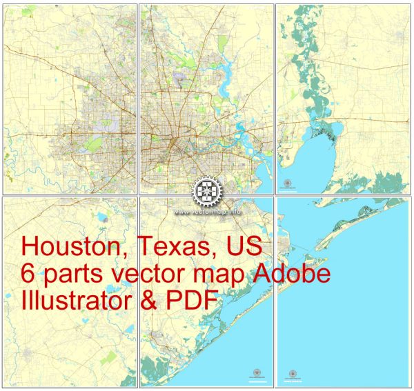
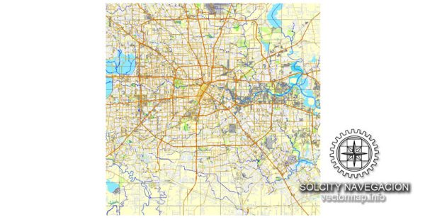
A general overview of the economic and transportation aspects of Houston, Texas.
Vectormap.Net provide you with the most accurate and up-to-date vector maps in Adobe Illustrator, PDF and other formats, designed for editing and printing. Please read the vector map descriptions carefully.
Economic Overview:
1. Diverse Economy:
Houston is known for its diverse and robust economy. It is a major hub for various industries, including:
- Energy: Houston is often considered the energy capital of the world. It is a center for the oil and gas industry, with numerous energy-related companies headquartered in the city.
- Healthcare: The Texas Medical Center, located in Houston, is one of the largest medical complexes globally, contributing significantly to the city’s economy.
- Aerospace and Aviation: Houston has a strong presence in the aerospace and aviation sectors, with NASA’s Johnson Space Center located in the city.
- Manufacturing: The city has a thriving manufacturing sector, including petrochemicals, machinery, and fabricated metal products.
- Trade and Transportation: Houston’s strategic location and access to the Gulf of Mexico make it a key player in international trade.
2. Energy Industry:
The energy industry, particularly oil and gas, has historically been a driving force behind Houston’s economy. The city hosts the headquarters of several major energy corporations.
3. Texas Medical Center:
As one of the largest medical complexes globally, the Texas Medical Center in Houston plays a crucial role in healthcare research, education, and patient care.
4. Port of Houston:
The Port of Houston is a vital component of the city’s economy, serving as a major gateway for international trade. It is one of the busiest ports in the United States.
Transportation Overview:
1. Highways and Freeways:
Houston has an extensive network of highways and freeways, including Interstates 10, 45, and 610, facilitating the movement of goods and people within the city and beyond.
2. Public Transportation:
- METRO: The Metropolitan Transit Authority of Harris County (METRO) operates bus services, light rail, and commuter services within the Houston metropolitan area.
- Light Rail: Houston has a light rail system connecting various parts of the city.
3. Airports:
- George Bush Intercontinental Airport (IAH): One of the busiest airports in the United States, IAH serves as a major hub for domestic and international flights.
- William P. Hobby Airport (HOU): Another significant airport in Houston, Hobby primarily handles domestic flights.
4. Port of Houston:
The Port of Houston is a major seaport, playing a crucial role in international trade. It handles a diverse range of cargo and is connected to the Gulf of Mexico.
5. Rail Transportation:
Houston is a major hub for railroads, facilitating the transportation of goods, including those related to the energy industry.
Recent Developments (as of January 2022):
- Houston has been investing in infrastructure improvements, including road expansions and public transportation enhancements.
- Ongoing developments in the energy sector have continued to shape the city’s economic landscape.
For the most up-to-date information, it is advisable to check recent reports, city planning documents, and local news sources.


 Author: Kirill Shrayber, Ph.D. FRGS