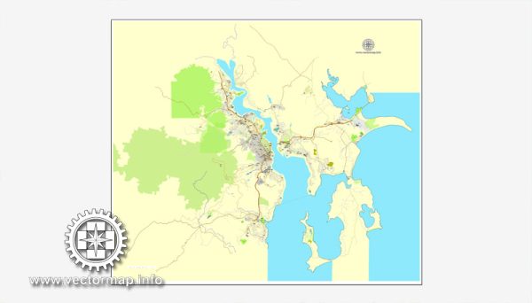
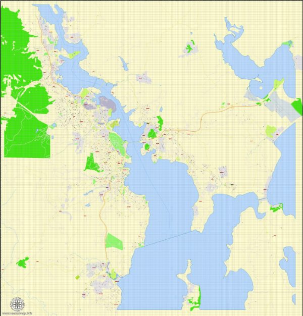
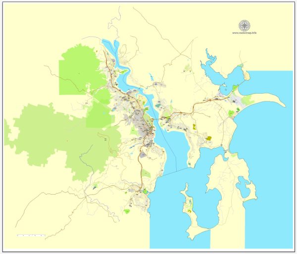
Hobart, the capital and largest city of the Australian island state of Tasmania, has a rich urban history and a unique street system that reflects its colonial past and development over the years.
Vectormap.Net provide you with the most accurate and up-to-date vector maps in Adobe Illustrator, PDF and other formats, designed for editing and printing. Please read the vector map descriptions carefully.
Early History:
- Hobart was founded in 1804 as a penal colony by Lieutenant Governor David Collins. The settlement was initially named Hobart Town after Lord Hobart, the Colonial Secretary. It served as a strategic outpost for the British Empire in the southern hemisphere.
Colonial Development:
- In the early 19th century, the city began to grow around the port and the original settlement near Sullivans Cove. The street layout was influenced by the hilly terrain and the need for easy access to the waterfront.
- The colonial architecture, particularly in the Battery Point area, showcases the historical development of the city. Many of the original sandstone buildings from the early 1800s have been preserved, giving the city a distinct historic character.
Transportation and Infrastructure:
- The street system evolved to accommodate the increasing demands of transportation. The city’s layout was shaped by the natural features of the landscape, including the Derwent River and the hills surrounding the area.
- The development of transportation infrastructure, such as roads and bridges, played a crucial role in connecting different parts of the city. The construction of key structures like the Tasman Bridge in the mid-20th century significantly impacted the urban layout.
Modern Urban Planning:
- As Hobart continued to grow in the 20th century, modern urban planning principles began to shape the city. The Central Business District (CBD) is a focal point for commerce, and the waterfront has been revitalized, becoming a vibrant area with shops, restaurants, and cultural institutions.
- The city has seen efforts to preserve its historical charm while accommodating contemporary needs. Historic neighborhoods like Battery Point and Salamanca Place have been carefully maintained, attracting both residents and visitors.
Street System:
- Hobart’s street system reflects its colonial origins, with a mix of narrow lanes and wider streets. Collins Street, named after the founder of the settlement, is one of the prominent streets in the CBD.
- The street names often pay homage to historical figures, events, or locations associated with Tasmania’s history. For example, Macquarie Street is named after Lachlan Macquarie, an early colonial leader.
- The hilly terrain can be challenging, leading to winding streets and staircases in some parts of the city. This topography contributes to the unique character of Hobart’s urban layout.
In summary, Hobart’s urban history is deeply rooted in its colonial past, and the street system reflects the city’s evolution over the centuries. From its early days as a penal colony to the present, Hobart has grown into a diverse and vibrant city that balances historical preservation with modern development.


 Author: Kirill Shrayber, Ph.D. FRGS