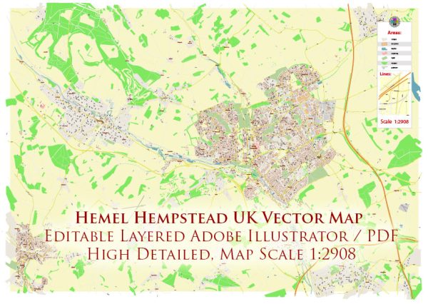
Hemel Hempstead is a town in Hertfordshire, England, located in the East of England region. Its history dates back to the 8th century when it was initially a small agricultural hamlet. Over the centuries, it grew and developed, particularly during the Industrial Revolution when the Grand Union Canal and the London and Birmingham Railway were constructed, connecting Hemel Hempstead to major trade routes.
Vectormap.Net provide you with the most accurate and up-to-date vector maps in Adobe Illustrator, PDF and other formats, designed for editing and printing. Please read the vector map descriptions carefully.
Historical Overview:
- Medieval Period: Hemel Hempstead has medieval roots, and its name is believed to originate from the Old English words “Hamel” (meaning bend in a river) and “Hempstead” (meaning a homestead or village). The town was granted a charter in 1539 by King Henry VIII, which allowed it to hold a weekly market.
- Industrial Revolution: The town saw significant growth during the Industrial Revolution, with the construction of the Grand Union Canal in the late 18th century. This facilitated the transportation of goods and materials, boosting trade and industrial activities.
- Post-War Development: Hemel Hempstead underwent further expansion and development in the post-war era. After World War II, it was designated a New Town under the New Towns Act of 1946. This led to a comprehensive redevelopment plan, including the construction of new housing, commercial areas, and infrastructure.
- Modern Era: In the latter half of the 20th century, Hemel Hempstead continued to grow and evolve as a commuter town. It became a mix of residential, industrial, and commercial areas, attracting people working in nearby cities like London.
Main Streets:
- Marlowes: This is one of the main shopping streets in Hemel Hempstead, featuring a variety of shops, restaurants, and cafes. It is a pedestrian-friendly area with a mix of retail and entertainment options.
- The High Street: Another important street in the town center, the High Street hosts a range of shops, services, and businesses. It is a focal point for local commerce and community activities.
- Riverside: Hemel Hempstead has a modern development known as Riverside, which includes shopping areas, leisure facilities, and residential spaces. It is situated along the banks of the Grand Union Canal.
- Old Town: The Old Town area provides a glimpse into Hemel Hempstead’s history with its historic buildings and charming atmosphere. It contrasts with the newer developments in the rest of the town.
These streets, along with others, contribute to Hemel Hempstead’s diverse urban landscape, reflecting its historical roots and modern developments. The town has become a hub for residents and commuters alike, offering a mix of amenities and services.


 Author: Kirill Shrayber, Ph.D. FRGS