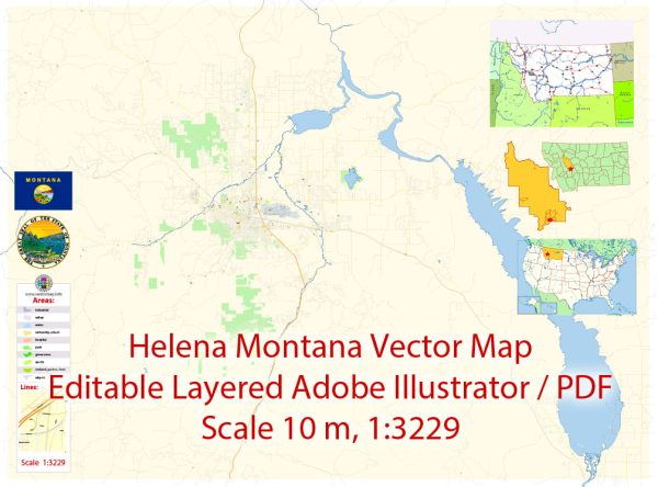
A general overview of Helena, Montana’s history and road system up to that point.
Vectormap.Net provide you with the most accurate and up-to-date vector maps in Adobe Illustrator, PDF and other formats, designed for editing and printing. Please read the vector map descriptions carefully.
History of Helena, Montana: Helena is the capital city of the U.S. state of Montana. The city was founded during the Montana gold rush of 1864. Gold was discovered in a gulch near present-day Helena, leading to a rush of prospectors and settlers. The city quickly grew and became a significant mining and trading hub. Helena was named after Saint Helena, a prominent figure in the Roman Empire and the mother of Emperor Constantine.
The boom brought wealth to the city, leading to the construction of impressive Victorian-style buildings, many of which still stand today. Helena became the territorial capital in 1875 and retained that status when Montana achieved statehood in 1889.
Road System in Helena, Montana: Helena’s road system has evolved over the years to accommodate the city’s growth and changing transportation needs. The city is served by a network of streets and highways that connect it to other parts of Montana and neighboring states. Some of the key features of the road system include:
- Interstate 15 (I-15): This major north-south interstate highway passes to the west of Helena. It connects the city with other major cities in Montana and extends southward to Utah and northward to the Canadian border.
- U.S. Route 12 (US-12): This east-west highway runs through Helena, providing a connection to other parts of Montana. It is an important route for both local and regional transportation.
- Montana State Highway 200 (MT-200): This highway runs east-west and passes through Helena. It connects the city with other communities in Montana and serves as a vital transportation route.
- Local Roads: Within Helena, there is a network of local roads and streets that facilitate travel within the city. The layout of these roads has likely been influenced by the city’s historical development.
- Infrastructure Development: Over the years, the city has invested in infrastructure development and maintenance to ensure a reliable and efficient road system. This includes road repairs, upgrades, and improvements to accommodate the needs of a growing population.
For the most up-to-date and detailed information on Helena’s history and road system, I recommend checking with local historical societies, city archives, or transportation departments. They may provide more recent developments and specific details about the city’s road infrastructure.


 Author: Kirill Shrayber, Ph.D. FRGS