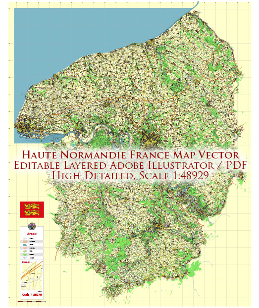
Haute-Normandie was one of the former administrative regions of France. It’s important to note that in 2016, the administrative regions of France were reorganized, and Haute-Normandie, along with Basse-Normandie, was merged to form the new administrative region of Normandy.
Vectormap.Net provide you with the most accurate and up-to-date vector maps in Adobe Illustrator, PDF and other formats, designed for editing and printing. Please read the vector map descriptions carefully.
Here is a brief overview of some of the main cities and railroads in the historical region of Haute-Normandie:
Main Cities:
- Rouen:
- Rouen is the historical capital of Normandy and the largest city in Haute-Normandie.
- It is known for its stunning Gothic architecture, including the famous Rouen Cathedral.
- The city has a rich history, with many medieval and Renaissance buildings.
- Rouen is an important industrial and commercial center.
- Le Havre:
- Le Havre is a major port city located on the English Channel.
- The city is known for its modernist architecture and was designated a UNESCO World Heritage Site.
- Le Havre is an important transportation hub with ferry connections to the United Kingdom.
- Caen:
- While Caen is more commonly associated with Basse-Normandie, it is worth mentioning due to its historical significance.
- The city has a rich history, including the Battle of Normandy during World War II.
- Évreux:
- Évreux is the capital of the Eure department in Haute-Normandie.
- It has a cathedral and several medieval buildings, contributing to its historical charm.
Railroads:
The railway network in Haute-Normandie was well-developed, connecting major cities and facilitating transportation within the region. Some key features included:
- Rouen-Rive-Droite Station:
- Rouen is a central hub for rail transportation in the region.
- The Rouen-Rive-Droite Station is one of the main railway stations, providing connections to other cities in France.
- Le Havre Station:
- Le Havre has a significant railway station, connecting the city to the national and regional rail network.
- Évreux-Normandie Station:
- Évreux has a railway station, providing transportation links to other cities in the region and beyond.
- Regional Rail Network:
- The regional rail network in Haute-Normandie facilitated travel between smaller towns and cities in the region.


 Author: Kirill Shrayber, Ph.D. FRGS