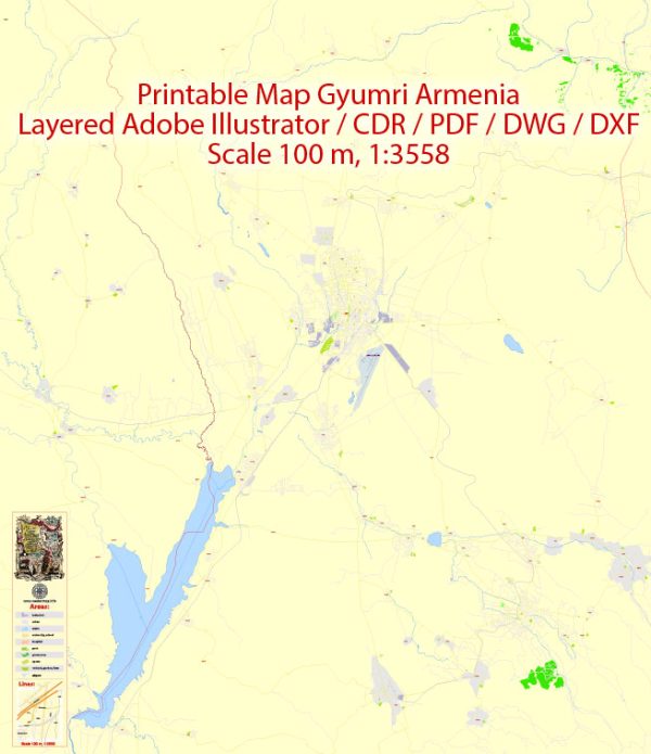
Gyumri, the second-largest city in Armenia, has a rich history and a transportation infrastructure that has evolved over the years.
Vectormap.Net provide you with the most accurate and up-to-date vector maps in Adobe Illustrator, PDF and other formats, designed for editing and printing. Please read the vector map descriptions carefully.
Here’s a detailed overview:
History of Gyumri:
- Early History: Gyumri, formerly known as Kumayri and Alexandropol, has a history dating back to ancient times. It has been a significant settlement since the Urartian period (9th-6th centuries BCE).
- Russian Influence: In the early 19th century, the region came under Russian control after the Russo-Persian War. Gyumri became a hub for Russian military and administrative activities in the South Caucasus.
- Earthquake of 1988: One of the most significant events in recent history was the devastating earthquake of 1988, which caused extensive damage to Gyumri and resulted in significant loss of life. The city went through a period of reconstruction and recovery in the subsequent years.
Transportation Infrastructure:
- Roads: Gyumri is well-connected by roads to other major cities in Armenia. The M1 Motorway, also known as the Yerevan-Gyumri-Georgian Border Highway, connects Gyumri to the capital, Yerevan, and to the Georgian border. This road is a crucial part of the country’s transportation network.
- Railways: The city has a railway station that is part of the Armenian railway network. The railway connects Gyumri to Yerevan and other major cities. However, the railway system has faced challenges, including maintenance issues and a decline in passenger traffic.
- Public Transportation: Gyumri has a public transportation system that includes buses and minibusses. The city’s public transportation network helps residents commute within the city and to nearby areas.
- Airport: The Shirak International Airport serves Gyumri and the surrounding region. It provides domestic and international flights, connecting the city to destinations such as Moscow, Vienna, and other cities. The airport plays a crucial role in facilitating travel and trade.
- Reconstruction Efforts: Following the 1988 earthquake, there were extensive reconstruction efforts in Gyumri, including the rebuilding of infrastructure. The transportation sector saw improvements, contributing to the overall development and recovery of the city.
- Modern Developments: As of my last knowledge update in January 2022, ongoing efforts to modernize and enhance the transportation infrastructure in Armenia could also have positive effects on Gyumri. New projects and initiatives may have been implemented to improve road quality, public transportation services, and connectivity.


 Author: Kirill Shrayber, Ph.D.