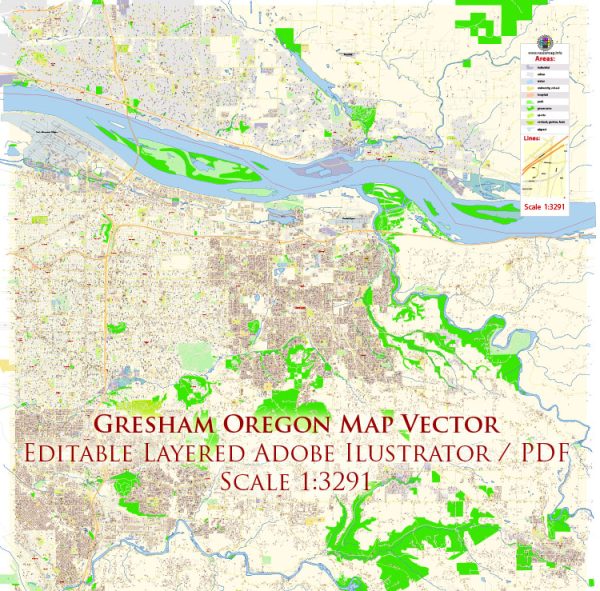
A general overview of the road and street infrastructure in Gresham, Oregon.
Vectormap.Net provide you with the most accurate and up-to-date vector maps in Adobe Illustrator, PDF and other formats, designed for editing and printing. Please read the vector map descriptions carefully.
Gresham is a city located in Multnomah County, Oregon, part of the Portland metropolitan area. The city is served by an extensive road network, connecting it to neighboring communities and facilitating transportation within the city. Key features of the road and street infrastructure in Gresham include:
- Interstate Highways: Gresham is accessible via Interstate 84 (I-84), a major east-west interstate that connects the city to downtown Portland and other cities in the region. I-84 is a crucial transportation route for both commuters and freight.
- State Highways: State highways such as Oregon Route 8 (Powell Boulevard) and Oregon Route 212 also serve Gresham, providing additional transportation options within the city and connecting it to nearby areas.
- Major Arterial Roads: Gresham has a network of major arterial roads that facilitate local and regional travel. Examples include Stark Street, Burnside Road, Division Street, and 242nd Avenue. These roads play a vital role in connecting neighborhoods, commercial areas, and other points of interest.
- Local Streets: The city is laid out with a grid of local streets, providing access to residential areas, schools, parks, and businesses. Gresham’s street system is designed to ease navigation for both residents and visitors.
- Public Transportation: In addition to road infrastructure, Gresham is served by public transportation services. TriMet, the regional transit agency, operates bus services in Gresham, providing residents with an alternative mode of transportation.
- Biking and Walking Paths: Gresham has made efforts to promote alternative modes of transportation, including biking and walking. The city has implemented bike lanes and walking paths to enhance the safety and accessibility of these transportation options.
- Infrastructure Maintenance: Like any city, Gresham has ongoing maintenance and improvement projects to ensure the safety and efficiency of its road and street infrastructure. This may include road resurfacing, traffic signal upgrades, and other improvements.
For the most accurate and up-to-date information on Gresham’s road and street infrastructure, I recommend checking with local government offices, transportation authorities, or official city websites. They can provide the latest details on road conditions, construction projects, and any recent developments in the transportation infrastructure.


 Author: Kirill Shrayber, Ph.D.