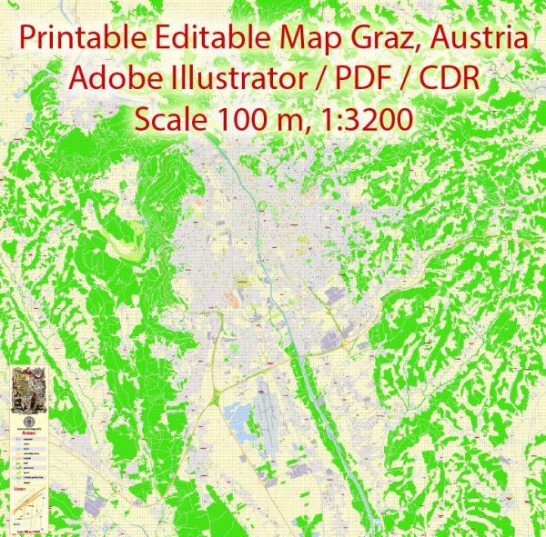
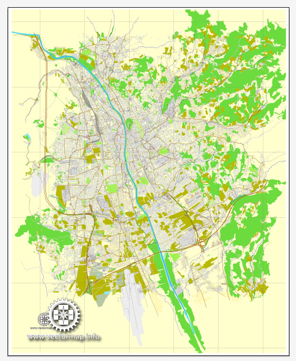
Graz, the capital city of the Styria region in Austria, has a rich history and a well-developed transportation infrastructure.
Vectormap.Net provide you with the most accurate and up-to-date vector maps in Adobe Illustrator, PDF and other formats, designed for editing and printing. Please read the vector map descriptions carefully.
Here’s a detailed overview:
History:
1. Ancient History:
- Graz has a history dating back to Roman times, with evidence of settlements from the 4th century.
- The area was part of the Eastern Frankish Empire in the 9th century and later became part of the Holy Roman Empire.
2. Medieval Period:
- In the 12th century, Graz became a market town and developed rapidly under the rule of the Babenberg and later the Habsburg dynasties.
- Graz Castle, built in the 15th century, played a crucial role in the city’s defense.
3. Renaissance and Baroque Era:
- The city flourished during the Renaissance, and many significant buildings, such as the Landhaus and the Cathedral, were constructed.
- Graz became an important cultural and educational center in the 16th and 17th centuries.
4. 19th and 20th Century:
- During the 19th century, Graz saw industrialization and urbanization.
- In the 20th century, it became a hub for education and research with the establishment of universities and research institutions.
5. Modern Era:
- Graz was designated a UNESCO World Cultural Heritage site in 1999 due to its well-preserved historic city center.
- Today, it is a vibrant city known for its cultural events, museums, and innovative architecture.
Transportation Infrastructure:
1. Public Transportation:
- Buses and Trams: Graz has an extensive network of buses and trams operated by Holding Graz Linien, providing convenient and efficient public transportation.
- S-Bahn: The Styrian S-Bahn connects Graz with the surrounding regions, facilitating commuter travel.
2. Rail Transportation:
- Main Railway Station (Hauptbahnhof): Graz Hauptbahnhof is a major railway hub, connecting the city with other Austrian cities and international destinations.
- Rail Network: The Austrian Federal Railways (ÖBB) operates a well-developed rail network, offering high-speed and regional train services.
3. Road Infrastructure:
- Highways: Graz is connected to the Austrian Autobahn network, including the A2 and A9 motorways, providing efficient road transport.
- City Roads: The city has a well-maintained road network with modern infrastructure to accommodate vehicular traffic.
4. Cycling Infrastructure:
- Graz is known for being bicycle-friendly, with dedicated bike lanes and a bike-sharing system, encouraging sustainable transportation.
5. Airport:
- Graz Airport (Flughafen Graz): Located about 10 km south of the city center, the airport provides domestic and international flights, contributing to the city’s connectivity.
6. Pedestrian Zones:
- The historic city center has pedestrian-friendly zones, promoting walking and creating a pleasant environment for residents and tourists.
In summary, Graz boasts a rich history that has shaped its cultural heritage, and its modern transportation infrastructure reflects a commitment to accessibility and sustainability. The combination of well-connected public transportation, a robust rail network, and efficient road systems makes Graz a dynamic and accessible city.


 Author: Kirill Shrayber, Ph.D. FRGS