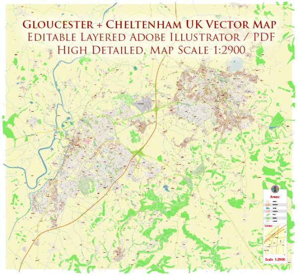
A general overview of the history and transportation infrastructure of Gloucester and Cheltenham in the United Kingdom.
Vectormap.Net provide you with the most accurate and up-to-date vector maps in Adobe Illustrator, PDF and other formats, designed for editing and printing. Please read the vector map descriptions carefully.
History:
Gloucester: Gloucester is a historic city in Gloucestershire, England, with roots dating back to Roman times. The city’s Roman history is evident in the remains of the Roman walls and the Gloucester City Museum, which houses artifacts from that era. In medieval times, Gloucester became an important port and market town. The Gloucester Cathedral, built in the 11th century, is a prominent landmark with a rich history.
Cheltenham: Cheltenham is a spa town that gained popularity in the 18th century for its mineral springs. The town’s growth accelerated during the Regency era, and it became known as a fashionable and health-promoting destination. Cheltenham is characterized by its Georgian and Regency architecture.
Transportation Infrastructure:
Roads: Both Gloucester and Cheltenham are well-connected by road networks. The M5 motorway runs near Gloucester, providing easy access to other major cities. Cheltenham is also accessible via major roads, including the A40 and A46.
Railways: The cities are served by rail connections, with Gloucester’s main railway station and Cheltenham Spa railway station providing links to destinations across the UK. The rail network connects these towns with larger cities like Birmingham, Bristol, and London.
Airports: The nearest major airport to Gloucester and Cheltenham is Gloucestershire Airport (formerly Staverton Airport), which primarily handles general aviation. However, for international flights, residents typically use Birmingham Airport, which is about an hour’s drive from both cities.
Public Transport: Both Gloucester and Cheltenham have well-established public bus services that connect different parts of the cities and surrounding areas. Public transportation is managed by local transport authorities, and the services are designed to facilitate commuting within and around the urban areas.
Cycling and Walking: Efforts have been made to promote sustainable transportation, including cycling and walking. Both cities have invested in infrastructure such as cycle paths and pedestrian-friendly zones.
Recent Developments: Cities often undergo changes and improvements in their transportation infrastructure. For the latest information, it’s recommended to check with local authorities or recent news sources for updates on new projects, road developments, or public transport enhancements in Gloucester and Cheltenham.


 Author: Kirill Shrayber, Ph.D. FRGS