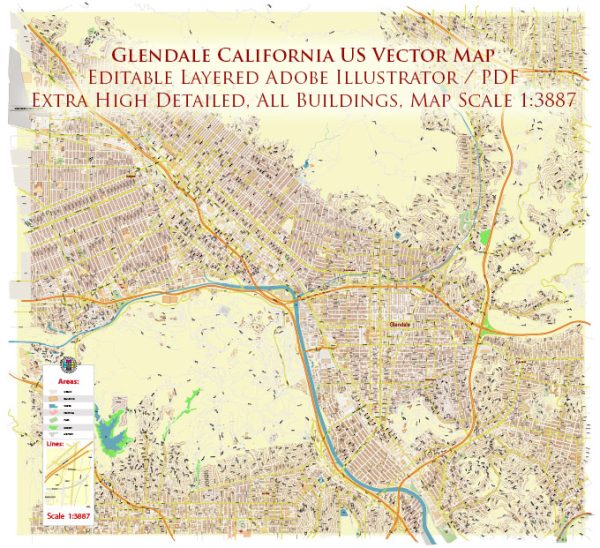
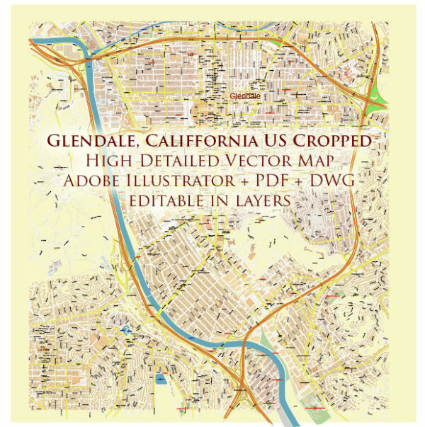
Glendale, California, a general overview of what you might find in a typical city’s transportation infrastructure, and you can use this as a reference.
Vectormap.Net provide you with the most accurate and up-to-date vector maps in Adobe Illustrator, PDF and other formats, designed for editing and printing. Please read the vector map descriptions carefully.
- Roads and Highways:
- Glendale is likely to have an extensive road network, including local streets, arterials, and highways. Major highways passing through or near Glendale include the I-5 and SR-134.
- Public Transportation:
- Glendale may have a public transportation system, such as buses or light rail, operated by agencies like Los Angeles County Metropolitan Transportation Authority (MTA) or Glendale Beeline. These services connect Glendale to neighboring cities and may provide options for commuting within the city.
- Airports:
- Bob Hope Airport (officially Hollywood Burbank Airport) is the closest airport to Glendale. It provides domestic flights and serves the Los Angeles metropolitan area.
- Rail Services:
- Glendale might be served by rail services, connecting it to other parts of Los Angeles County. Amtrak and Metrolink are common rail services in the region.
- Biking and Walking Paths:
- Many cities are investing in bike lanes and walking paths to promote alternative modes of transportation. Glendale might have such infrastructure to encourage active transportation.
- Ridesharing and Taxis:
- Services like Uber and Lyft are commonly available in urban areas, providing additional transportation options.
- Parking Facilities:
- The city likely has parking facilities, including street parking, parking lots, and parking garages, to accommodate the needs of residents, businesses, and visitors.
- Traffic Management:
- Traffic signals, signage, and other traffic management systems are likely in place to regulate and facilitate the flow of traffic.
- Infrastructure Maintenance:
- There would be ongoing efforts to maintain and improve the transportation infrastructure, including road repairs, upgrades, and expansions.
For the most accurate and up-to-date information, I recommend checking with local authorities, transportation departments, or official city websites for Glendale, California. They often provide detailed information on current infrastructure projects, traffic updates, and public transportation services.


 Author: Kirill Shrayber, Ph.D. FRGS