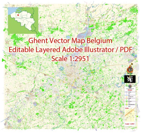
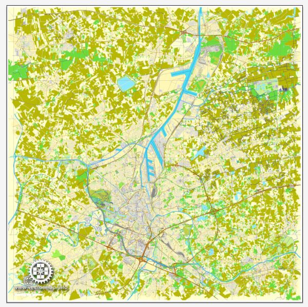
Ghent, located in the Flanders region of Belgium, has a rich history that dates back to the medieval period. The city played a significant role in trade and commerce during the Middle Ages, contributing to its architectural and cultural heritage.
Vectormap.Net provide you with the most accurate and up-to-date vector maps in Adobe Illustrator, PDF and other formats, designed for editing and printing. Please read the vector map descriptions carefully.
Here’s an overview of the history and transportation infrastructure of Ghent:
History:
- Medieval Era:
- Ghent’s history can be traced back to the 7th century when it was a small settlement. By the 12th century, it had evolved into a prominent trading and manufacturing city.
- In the late medieval period, Ghent became a part of the Hanseatic League, a confederation of merchant guilds and their market towns.
- Golden Age and Renaissance:
- The 14th and 15th centuries were Ghent’s golden age, marked by economic prosperity and cultural growth.
- The city was known for its textile industry, producing high-quality woolen cloth that was traded across Europe.
- During the Renaissance, Ghent was a center for art, science, and humanism.
- Habsburg Rule and Revolts:
- In the 16th century, Ghent came under Habsburg rule. The imposition of taxes and other grievances led to the Ghent Revolt (1539-1540) against Emperor Charles V.
- The revolt was suppressed, and the city faced subsequent periods of decline.
- Industrialization and Modern Era:
- The 19th century brought industrialization to Ghent, transforming it into a major industrial center.
- The city played a key role in the Belgian Industrial Revolution, with industries like textiles, metalworking, and food processing flourishing.
Transportation Infrastructure:
- Waterways:
- Ghent has historically been connected to major waterways, such as the River Scheldt. The city’s location made it an important port for trade and commerce.
- Railway Network:
- The development of the railway network in the 19th century further enhanced Ghent’s connectivity. The city became a hub for rail transport, facilitating the movement of goods and people.
- Roadways:
- Ghent has a well-developed road network that connects it to other cities in Belgium and neighboring countries. Highways and expressways facilitate efficient transportation by road.
- Public Transportation:
- Ghent has a comprehensive public transportation system, including buses and trams, operated by De Lijn. The public transport system serves both the city and its surrounding areas.
- Cycling:
- Ghent is known for its bicycle-friendly infrastructure. The city encourages cycling as a sustainable and efficient mode of transportation, with dedicated bike lanes and bike-sharing programs.
- Modern Developments:
- In recent years, Ghent has focused on sustainable urban development and reducing traffic congestion. Initiatives include promoting public transportation, cycling, and pedestrian-friendly zones.
Ghent’s history and transportation infrastructure reflect its evolution from a medieval trading center to a modern, dynamic city that values sustainability and connectivity. The city’s rich cultural heritage and commitment to urban development make it an important and vibrant part of Belgium.


 Author: Kirill Shrayber, Ph.D.