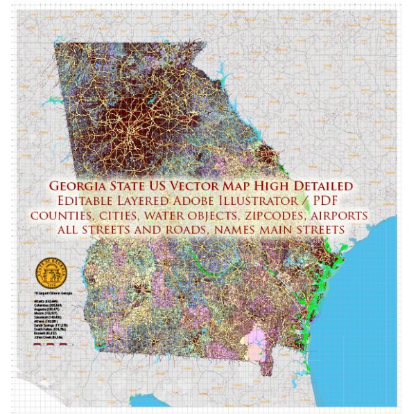
A general information about some of the main cities and roads in the state of Georgia, USA.
Vectormap.Net provide you with the most accurate and up-to-date vector maps in Adobe Illustrator, PDF and other formats, designed for editing and printing. Please read the vector map descriptions carefully.
Main Cities in Georgia:
- Atlanta: The capital and largest city in Georgia, Atlanta is a major economic and cultural hub. It is known for its diverse population, Southern hospitality, and as a center for business and transportation.
- Savannah: Located on the Atlantic coast, Savannah is famous for its historic architecture, cobblestone streets, and vibrant cultural scene. The city has a rich history dating back to colonial times.
- Augusta: Positioned along the Savannah River, Augusta is known for hosting the annual Masters Tournament, one of the most prestigious events in professional golf. The city also has a strong military presence.
- Macon: Situated in the central part of the state, Macon has a historic downtown area and is known for its musical heritage, including being the birthplace of musicians like Little Richard.
- Columbus: Located on the Chattahoochee River, Columbus is a major city in western Georgia with a growing economy and a range of cultural attractions.
- Athens: Home to the University of Georgia, Athens is a college town known for its vibrant music scene, historic architecture, and cultural events.
- Albany: Situated in southwestern Georgia, Albany is an important center for healthcare, education, and commerce in the region.
Major Roads in Georgia:
- Interstate Highways (I):
- I-75: Runs north-south, connecting Atlanta with cities like Macon, Chattanooga (Tennessee), and eventually reaching the Canadian border.
- I-85: Connects Atlanta to cities like Greenville (South Carolina) and Charlotte (North Carolina).
- I-20: Runs east-west, connecting Atlanta with cities such as Augusta and Birmingham (Alabama).
- State Routes and U.S. Highways:
- Georgia has an extensive network of state routes (e.g., SR 400) and U.S. highways (e.g., U.S. 441) that connect various cities and towns throughout the state.
- Toll Roads:
- Georgia has several toll roads and express lanes in the Atlanta metropolitan area. These include the Georgia 400 Extension Toll, the I-85 Express Lanes, and the I-75 South Metro Express Lanes. Toll amounts and regulations may vary, so it’s important to check for the latest information.
- Free Roads:
- Most roads in Georgia, including the interstate and state highway systems, are free to use. However, some highways may have toll lanes or express lanes that offer a faster option for a fee.
Please note that information about tolls and road conditions can change, so it’s recommended to check with local transportation authorities for the most up-to-date information before planning your travel.


 Author: Kirill Shrayber, Ph.D. FRGS