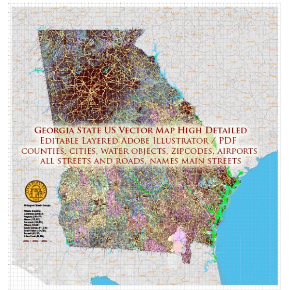
A general overview of the roads and railroads infrastructure in the state of Georgia, USA.
Vectormap.Net provide you with the most accurate and up-to-date vector maps in Adobe Illustrator, PDF and other formats, designed for editing and printing. Please read the vector map descriptions carefully.
Roads:
Georgia has a well-developed road network that includes interstates, highways, and local roads. Some key features of Georgia’s road infrastructure include:
- Interstate Highways: Georgia is crisscrossed by several major interstate highways, including I-75, I-85, I-20, I-16, and I-95. These highways connect major cities within the state and provide crucial transportation corridors for interstate travel.
- State Highways: The Georgia Department of Transportation (GDOT) manages a comprehensive system of state highways that connect cities and towns throughout the state. These highways play a vital role in facilitating both intrastate and interstate commerce.
- Local Roads: Local roads and streets form the foundation of Georgia’s transportation system, providing connectivity within cities and rural areas. County and municipal authorities typically manage these roads.
- Bridges and Tunnels: Georgia has numerous bridges and tunnels that span rivers, lakes, and other bodies of water. Ensuring the maintenance and safety of these structures is a priority for transportation authorities.
- Traffic Management: Urban areas like Atlanta face significant traffic congestion, and transportation authorities implement various strategies, including advanced traffic management systems and HOV lanes, to address these issues.
Railroads:
Georgia has a robust railroad infrastructure that contributes to the state’s economic development and transportation of goods. Key aspects of Georgia’s railroad system include:
- Class I Railroads: Major Class I railroads, such as Norfolk Southern and CSX, operate extensive networks in Georgia. These railroads play a crucial role in transporting freight, including goods like agricultural products, manufacturing materials, and consumer goods.
- Intermodal Facilities: Georgia is home to several intermodal facilities, which facilitate the transfer of goods between different modes of transportation, such as rail and truck. These facilities enhance the efficiency of freight movement.
- Port Connectivity: Railroads in Georgia are often connected to the state’s deepwater ports, such as the Port of Savannah. This connectivity supports the seamless transportation of goods between maritime and inland destinations.
- Freight Corridors: Georgia has identified strategic freight corridors to optimize the movement of goods and reduce congestion. These corridors are designed to enhance the efficiency of freight transportation across the state.
- Passenger Rail: While the focus of Georgia’s rail system is primarily on freight transportation, there have been discussions about enhancing passenger rail services. However, the state’s passenger rail network is not as extensive as its freight rail network.


 Author: Kirill Shrayber, Ph.D. FRGS