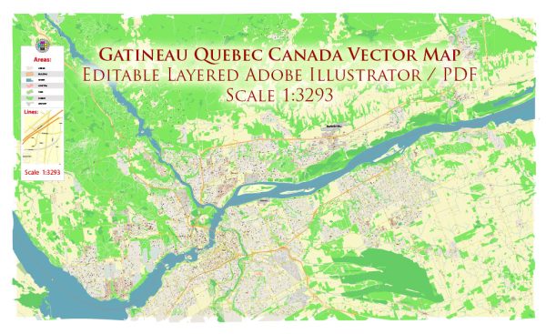
Map Gatineau Quebec Canada for Printing

Printable Map — Gatineau Quebec Canada

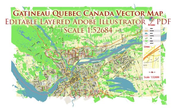
An editable printable map of Gatineau Quebec Canada designed as a dependable base for print and digital layouts. Contours and landuse layers can be toggled to match tourism or planning use cases. Layer structure separates arterials and locals, districts, hydrography, parks and landmarks. Typography spacing is tuned for quick reading on posters, brochures and reports. The file accepts custom grids, legends and callouts without redrawing base content. Waterfronts and parks receive extra separation for better contrast on light palettes.

Saves prepress time by reducing manual fixes and keeping the visual system consistent. Works well as an underlay for wayfinding, transport schemes and editorial layouts. Color systems can be swapped quickly to match seasonal or brand variants. Keeps labels readable while allowing deep customization of routes and highlights.

Some general information about Gatineau, Quebec, Canada. 

Vectormap.Net provide you with the most accurate and up-to-date vector maps in Adobe Illustrator, PDF and other formats, designed for editing and printing. Please read the vector map descriptions carefully.

Main Coordinates (Latitude, Longitude):

  • Gatineau is situated on the northern bank of the Ottawa River, directly across from Ottawa, Ontario.
  • Approximate coordinates for the central area of Gatineau are around 45.4250° N latitude and 75.6995° W longitude.

Total Area:

  • The total area of Gatineau is approximately 342 square kilometers.

Main Streets and Roads:

  • Some of the main streets and roads in Gatineau include:
    1. Boulevard Gréber
    2. Boulevard Maloney
    3. Boulevard Saint-Joseph
    4. Boulevard des Allumettières
    5. Boulevard du Plateau
    6. Boulevard Fournier
    7. Boulevard de la Cité-des-Jeunes

These are just a few examples, and there are many more streets and roads that make up the city’s road network.

For the most current and detailed information, I recommend checking with the local municipality, city planning department, or using online mapping services like Google Maps for real-time data on coordinates, streets, and roads in Gatineau.

Author: Kirill Shrayber, Ph.D.

I have been working with vector cartography for over 25 years, including GPS, GIS, Adobe Illustrator and other professional cartographic software.
Linkedin: https://www.linkedin.com/in/kirill-shrayber-0b839325/
Twitter: https://twitter.com/vectormapper

Are we missing some maps? Let us know!!!
What map do you need?

    We will upload it within the next 24 hours and notify you by Email.

    Menu