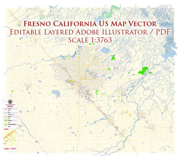
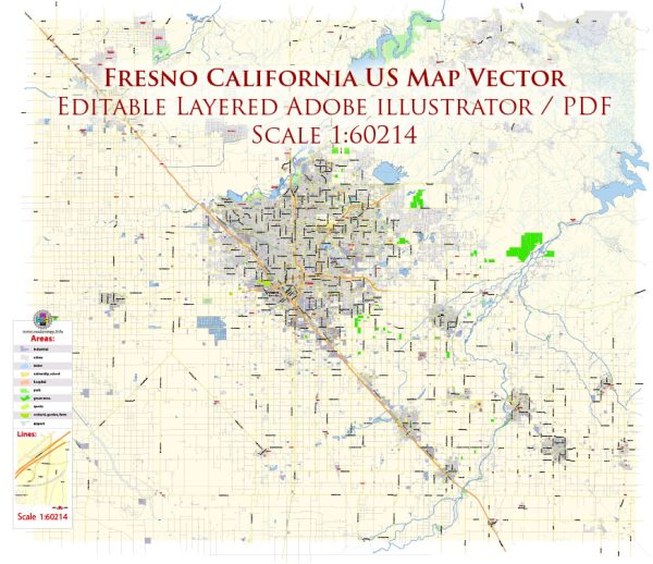
Fresno, California, is a city located in the central part of the state, in the San Joaquin Valley. Its history and transportation infrastructure have played crucial roles in its development and growth.
Vectormap.Net provide you with the most accurate and up-to-date vector maps in Adobe Illustrator, PDF and other formats, designed for editing and printing. Please read the vector map descriptions carefully.
History:
- Early Settlement: The area that is now Fresno was originally inhabited by Native American tribes, including the Yokuts. The arrival of Spanish explorers in the 18th century led to the establishment of missions and the introduction of European influence.
- Mexican Era: After gaining independence from Spain, California became a Mexican territory. The Mexican land grants system resulted in the distribution of large ranchos, including the one that encompassed the Fresno area.
- California Gold Rush: The discovery of gold in California in 1848 prompted a massive influx of people, leading to increased settlement and economic activity. Fresno County was established in 1856.
- Agricultural Development: Fresno’s transformation into an agricultural hub began in the late 19th century. The arrival of the Central Pacific Railroad in 1872 played a pivotal role in connecting the region to larger markets.
- Water Development: The construction of the Friant Dam on the San Joaquin River in the 1940s brought much-needed water to the area, facilitating the growth of agriculture and supporting the city’s development.
Transportation Infrastructure:
- Railroads: The Central Pacific Railroad played a crucial role in Fresno’s early development. Rail connections facilitated the transportation of agricultural products to markets and enabled the city to become a transportation hub in the region.
- Highways: Fresno is well-connected by a network of highways, including State Route 99, which runs through the city. This major north-south route connects Fresno to other cities in the San Joaquin Valley and the rest of California.
- Airports: Fresno Yosemite International Airport serves as the primary airport for the region, providing domestic flights and connecting Fresno to major cities across the United States.
- Public Transit: Fresno Area Express (FAX) operates the city’s public transit system, including buses. The system serves residents and commuters within the city and surrounding areas.
- Expansion of Infrastructure: Over the years, Fresno has seen continued efforts to expand and improve its transportation infrastructure. This includes projects aimed at reducing traffic congestion, enhancing public transit, and ensuring efficient movement of goods and people.
- High-Speed Rail: The California High-Speed Rail project has been planned to connect major cities in the state, including Fresno, through a high-speed train system. While the project has faced challenges and controversies, it reflects the ongoing efforts to modernize transportation in the region.
In summary, Fresno’s history is deeply tied to agriculture and transportation, with railroads and highways playing crucial roles in its development. The city continues to evolve, addressing the challenges of modern transportation while preserving its agricultural heritage.


 Author: Kirill Shrayber, Ph.D. FRGS