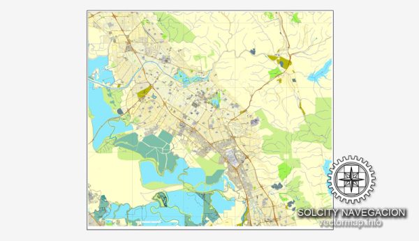
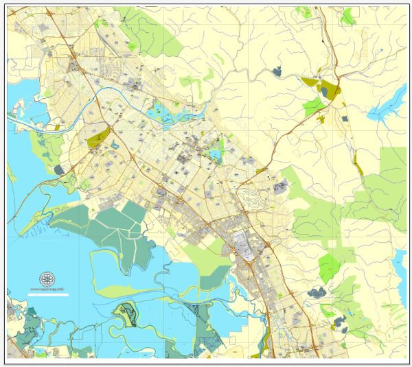
Fremont, California, is a city located in the southern part of the San Francisco Bay Area. The city has a rich history and has undergone significant growth and development over the years.
Vectormap.Net provide you with the most accurate and up-to-date vector maps in Adobe Illustrator, PDF and other formats, designed for editing and printing. Please read the vector map descriptions carefully.
Here is a detailed overview of the history and transportation infrastructure of Fremont:
History:
- Early Inhabitants: Before European settlers arrived, the area now known as Fremont was inhabited by the Ohlone people. They lived in the region for thousands of years, relying on the abundant natural resources for sustenance.
- Mission San Jose: The Spanish established Mission San Jose in 1797 as part of the California mission system. The mission played a crucial role in the region’s development, with agriculture and cattle ranching becoming significant activities.
- Rancho Period: After Mexico gained independence from Spain, the Mexican government granted land to private individuals in the form of ranchos. The area that is now Fremont was part of the Rancho Agua Caliente.
- Gold Rush Era: The discovery of gold in California in 1848 brought a wave of settlers to the region, leading to increased development. Agriculture, particularly orchards and vineyards, became essential to the local economy.
- Railroads and Industry: The completion of the transcontinental railroad in 1869 further fueled growth. The railroad connected Fremont to other parts of the country, facilitating the transportation of goods and people. The rise of industry in the 20th century, including the development of the automotive industry, further shaped Fremont’s economy.
- Incorporation and Suburban Growth: Fremont was officially incorporated as a city in 1956, consolidating several smaller communities. In the post-World War II era, suburban development expanded, and Fremont saw a population boom as people moved to the area for housing and job opportunities.
Transportation Infrastructure:
- Highways: Fremont is well-connected by several major highways. Interstate 680 and Interstate 880 run through the city, providing crucial north-south connections. These highways facilitate commuting and the transportation of goods.
- BART (Bay Area Rapid Transit): Fremont is served by the BART system, a regional rapid transit network connecting various cities in the Bay Area. The Fremont BART station is a major transportation hub, offering residents a convenient means of commuting to other parts of the Bay Area.
- Amtrak: The city is served by the Amtrak Capitol Corridor line, providing rail service between San Jose and Sacramento. The Fremont Amtrak station is a key stop along this route.
- Bus Transit: Fremont has an extensive network of bus services operated by the Alameda-Contra Costa Transit District (AC Transit) and the Santa Clara Valley Transportation Authority (VTA). These buses connect Fremont to neighboring cities and regions.
- Cycling and Walking: Fremont has made efforts to promote cycling and walking as viable transportation options. The city has developed bike lanes and pedestrian-friendly pathways to enhance the safety and accessibility of these modes of transport.
Overall, Fremont’s transportation infrastructure has evolved to meet the needs of its growing population and plays a vital role in connecting the city to the broader Bay Area region.


 Author: Kirill Shrayber, Ph.D.