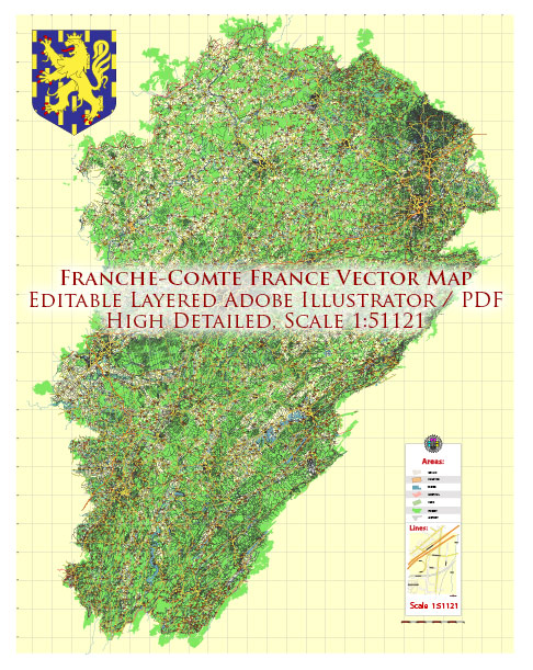
Franche-Comté was an administrative region in eastern France. However, in 2016, administrative regions in France were reorganized, and Franche-Comté was merged with the region of Burgundy to form the new administrative region of Bourgogne-Franche-Comté.
Vectormap.Net provide you with the most accurate and up-to-date vector maps in Adobe Illustrator, PDF and other formats, designed for editing and printing. Please read the vector map descriptions carefully.
Here is a general overview of some of the main cities and roads in the historical region of Franche-Comté:
Main Cities:
- Besançon: The capital city of Franche-Comté, Besançon is known for its rich history, well-preserved architecture, and cultural heritage. The city is located on the Doubs River.
- Belfort: Situated in the northeastern part of Franche-Comté, Belfort is known for its citadel and the Lion of Belfort statue. It has a strong industrial heritage and is located near the Vosges Mountains.
- Montbéliard: Another important city in the region, Montbéliard is known for its historical architecture, including the Château de Montbéliard, and its cultural events.
- Dole: Dole is a town with a charming historic center, featuring notable buildings such as the Collégiale Notre-Dame.
Roads:
- Autoroutes (Highways): The major highways in and around Franche-Comté are part of the French autoroute network. Autoroutes typically have tolls. The A36 is a significant autoroute connecting cities like Besançon and Belfort.
- National Roads (Routes Nationales): These are the main roads that connect cities and regions. Some of them may be toll-free, providing an alternative to the autoroutes. The N83, for example, connects Besançon to Dole.
- Regional and Local Roads: Franche-Comté has a network of regional and local roads connecting smaller towns and villages. These roads are generally toll-free.
Tolls:
Toll roads, or autoroutes à péage, are common in France. The tolls contribute to the maintenance and improvement of the road infrastructure. When traveling on autoroutes, you’ll encounter toll booths where you can pay with cash, credit/debit cards, or electronic toll collection systems such as Télépéage.
Please note that road networks and toll systems are subject to change, and it’s advisable to check for the latest information on tolls, road conditions, and infrastructure developments from reliable sources or navigation apps before planning any journey.


 Author: Kirill Shrayber, Ph.D.