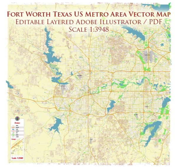
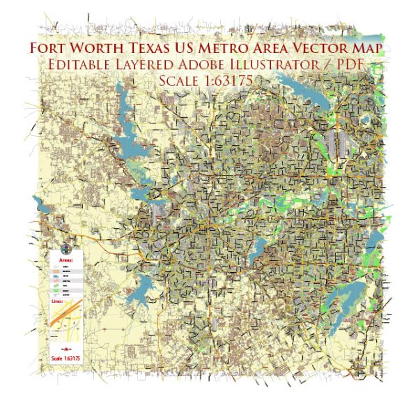
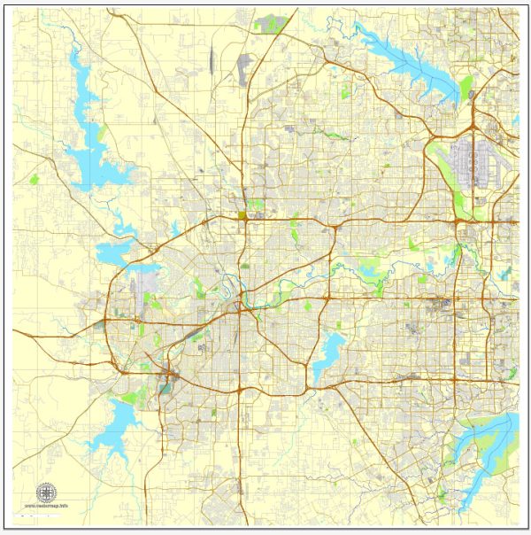
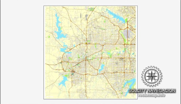
A general overview of the roads and railroads infrastructure in Fort Worth, Texas.
Vectormap.Net provide you with the most accurate and up-to-date vector maps in Adobe Illustrator, PDF and other formats, designed for editing and printing. Please read the vector map descriptions carefully.
Roads: Fort Worth has a well-developed road infrastructure, and it serves as a major transportation hub in the region. Some of the key highways and interstates that connect Fort Worth include:
- Interstate 30 (I-30): Runs east-west and connects Fort Worth to Dallas and other cities in the region.
- Interstate 35W (I-35W): Runs north-south, connecting Fort Worth to Denton and other points north.
- Interstate 820 (I-820): A loop around Fort Worth, providing a convenient route for commuters and freight traffic.
- U.S. Highway 287 (US 287): Connects Fort Worth to Amarillo and other cities in the northern part of Texas.
- Texas State Highway 121 (TX 121): Connects Fort Worth to Grapevine, Plano, and McKinney.
- Texas State Highway 183 (TX 183): An east-west highway connecting Fort Worth to Irving and Dallas.
- Texas State Highway 360 (TX 360): A north-south highway providing connectivity between Arlington and Grand Prairie.
These highways, along with a network of local roads, contribute to the efficient movement of people and goods within and around Fort Worth.
Railroads: Fort Worth has a significant railroad presence due to its historical importance as a transportation hub. The city is served by several major railroad companies, including BNSF Railway and Union Pacific Railroad. These railroads play a crucial role in transporting freight, including goods such as manufactured products, raw materials, and agricultural commodities.
The city’s rail infrastructure includes freight rail yards, intermodal facilities, and connections to national rail networks. Additionally, Fort Worth is a key location for the maintenance and repair of railroad equipment.
Please note that developments in infrastructure can occur, and new projects may have been initiated since my last update. For the most current and detailed information, it’s recommended to refer to local transportation authorities, city planning departments, or official government sources in Fort Worth.


 Author: Kirill Shrayber, Ph.D.