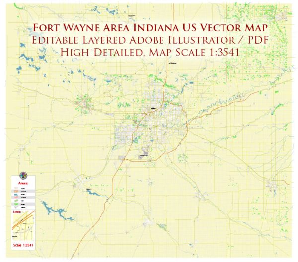
Fort Wayne, Indiana, has a rich industrial history and a well-developed road system that played crucial roles in its growth and development.
Vectormap.Net provide you with the most accurate and up-to-date vector maps in Adobe Illustrator, PDF and other formats, designed for editing and printing. Please read the vector map descriptions carefully.
Let’s explore both aspects in detail:
Industrial History:
Early Industry:
- Frontier Period (Late 18th Century): Fort Wayne’s history as a settlement began with the construction of Fort Wayne in 1794. The fort served as a military outpost and played a role in the region’s fur trade.
- Trading and Agriculture (Early 19th Century): The Wabash and Erie Canal, completed in the 1840s, facilitated transportation, boosting trade and agriculture. Fort Wayne became a hub for shipping and commerce.
Industrialization and Growth:
- Railroads (Mid to Late 19th Century): The arrival of railroads in the mid-19th century transformed Fort Wayne into a major transportation and manufacturing center. The city’s strategic location made it a crossroads for multiple rail lines.
- Manufacturing Boom (Late 19th to Early 20th Century): Fort Wayne’s industrial base expanded significantly during this period. Industries included manufacturing, meatpacking, and the production of consumer goods. Notable companies, such as Wayne Knitting Mills and the Wayne Paper Box Company, contributed to the city’s economic growth.
Automotive and Aviation Industry:
- Automotive Manufacturing (Early to Mid-20th Century): Fort Wayne became a hub for the automotive industry. International Harvester and General Electric were major employers, and later, the presence of the Allen County War Memorial Coliseum facilitated auto shows.
- Aviation Industry (Mid-20th Century): The city’s aviation industry thrived, with companies like Baer Field (now Fort Wayne International Airport) playing a vital role during World War II. Fort Wayne also became a key location for aircraft manufacturing and maintenance.
Post-Industrial Era:
- Diversification (Late 20th Century): With the decline of traditional manufacturing, Fort Wayne successfully diversified its economy. The healthcare, defense, and education sectors grew, with companies like Parkview Health and Steel Dynamics contributing to the city’s economic stability.
- Technology and Innovation (21st Century): Fort Wayne embraced technology and innovation in the 21st century. The emergence of start-ups, tech companies, and educational institutions like Indiana Tech reflected the city’s commitment to a knowledge-based economy.
Road System:
Early Roads and Turnpikes:
- Frontier Trails (Late 18th Century): Initially, Fort Wayne relied on frontier trails, often used for military and trade purposes.
- Wabash and Erie Canal Era (Mid-19th Century): The canal era brought increased road development to connect Fort Wayne with canal ports and neighboring regions.
Rail and Highway Development:
- Railroads (Mid to Late 19th Century): Fort Wayne’s railroads became critical transportation links, connecting the city to major industrial centers.
- Interstate Highways (20th Century): The construction of Interstate 69 and other highways in the mid-20th century enhanced Fort Wayne’s connectivity, facilitating the movement of goods and people.
Modern Road System:
- Expansion and Maintenance: Fort Wayne’s road system has continued to evolve, with expansions and maintenance projects ensuring efficient transportation within the city and its connection to regional and national networks.
- Integration with Public Transportation: Efforts to integrate road systems with public transportation, such as buses, have contributed to a comprehensive and accessible transportation network.
In summary, Fort Wayne’s industrial history reflects its transition from a frontier outpost to a diverse and dynamic economic center. The city’s road system has played a vital role in supporting this growth, connecting industries and fostering economic development over the centuries.


 Author: Kirill Shrayber, Ph.D.