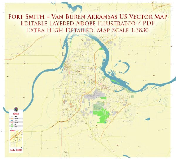
Fort Smith and Van Buren are neighboring cities located in western Arkansas, United States. Both cities play significant roles in the economic and transport networks of the region.
Vectormap.Net provide you with the most accurate and up-to-date vector maps in Adobe Illustrator, PDF and other formats, designed for editing and printing. Please read the vector map descriptions carefully.
Economic Connections:
- Manufacturing and Industry: Fort Smith has historically been an industrial hub, with a strong presence in manufacturing and processing industries. Companies in sectors such as automotive, aerospace, and food processing contribute to the local economy. Van Buren, being nearby, also benefits from the economic activities in Fort Smith.
- Healthcare and Education: Both cities have healthcare and educational institutions that contribute to the local economy. Hospitals, clinics, and educational facilities provide jobs and services to residents.
- Retail and Commerce: Retail and commercial activities are significant in both Fort Smith and Van Buren. Shopping centers, local businesses, and restaurants contribute to the economic vibrancy of the area.
- Transportation and Logistics: Due to their strategic locations, Fort Smith and Van Buren are involved in transportation and logistics activities. The Arkansas River, which flows through both cities, historically played a role in transportation, and the area has rail and road networks that facilitate the movement of goods.
Transport Connections:
- Roads and Highways: Interstate 540 connects Fort Smith to other major cities in Arkansas, making it a crucial transportation corridor. Van Buren is also well-connected through various state highways, providing easy access to regional and national transportation routes.
- Bridges and River Transportation: The Arkansas River, flowing between Fort Smith and Van Buren, has historically been an essential transportation route. The cities are connected by several bridges, facilitating the movement of people and goods.
- Rail Transportation: Both cities have a history tied to the railroad industry, and railroads continue to play a role in transporting goods. The rail infrastructure connects the region to broader national rail networks.
- Airports: Fort Smith Regional Airport serves as a regional airport providing air transportation services. While Van Buren doesn’t have its own airport, it benefits from the nearby airport’s services for air travel and cargo transportation.
- Public Transportation: Both Fort Smith and Van Buren have local public transportation services, including buses, providing intra-city mobility.


 Author: Kirill Shrayber, Ph.D. FRGS