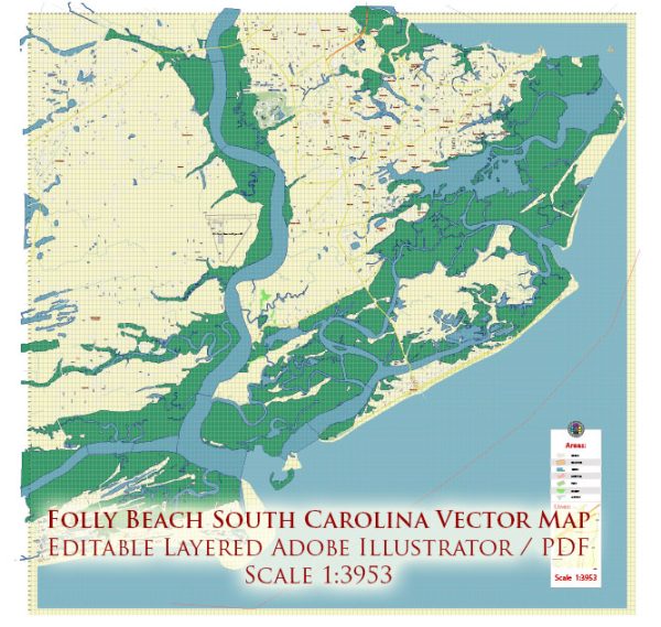
Folly Beach is a barrier island located near Charleston, South Carolina. Transportation infrastructure on Folly Beach is relatively straightforward, as it is connected to the mainland by a single road, State Highway 171.
Vectormap.Net provide you with the most accurate and up-to-date vector maps in Adobe Illustrator, PDF and other formats, designed for editing and printing. Please read the vector map descriptions carefully.
Here is a detailed overview of the transportation infrastructure on and around Folly Beach:
- Highway Access:
- State Highway 171 (Folly Road): This is the primary access point to Folly Beach from the mainland. It connects Folly Beach to James Island and Charleston. The road spans from the mainland to Folly Island, providing the main route for visitors and residents.
- Bridges:
- Folly Island Connector: This bridge connects Folly Beach to James Island, providing a direct route to Charleston. It spans over the Folly River and is a crucial part of the transportation network.
- Parking:
- Public Parking: Folly Beach has public parking areas near the beach access points. Visitors can park their vehicles and then explore the beach on foot. During peak seasons, parking may be limited, so it’s essential to plan accordingly.
- Alternative Transportation:
- Walking and Biking: Folly Beach is a relatively small and walkable island. Many visitors prefer walking or biking to get around the island and explore its attractions.
- Golf Carts: Some residents and visitors use golf carts as a convenient means of transportation on the island. They are allowed on designated streets and can be a fun and practical way to explore Folly Beach.
- Public Transportation:
- Charleston Area Regional Transportation Authority (CARTA): While Folly Beach itself may not have an extensive public transportation system, CARTA provides bus services in the greater Charleston area. Visitors can use CARTA buses to travel between Folly Beach and downtown Charleston.
- Airport:
- Charleston International Airport: For those traveling to Folly Beach by air, Charleston International Airport is the nearest major airport. From the airport, visitors can rent a car or take a taxi/rideshare to reach Folly Beach.
It’s important to note that conditions and infrastructure may change, so it’s recommended to check for updates or local sources for the most recent information on Folly Beach’s transportation infrastructure.


 Author: Kirill Shrayber, Ph.D.