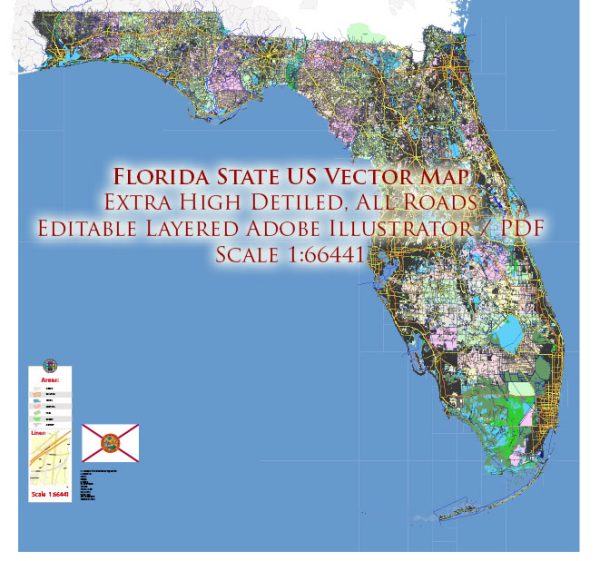
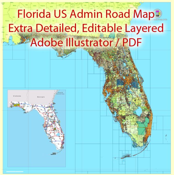
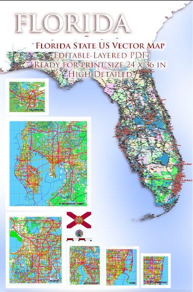
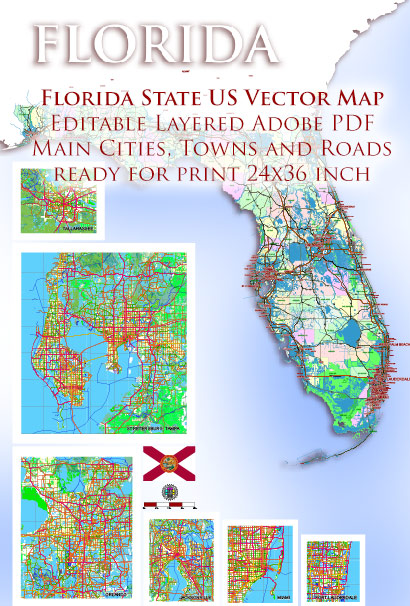
Vector Maps of the Florida : constituent state of the United States of America. It was admitted as the 27th state in 1845. Florida is the most populous of the southeastern states and the second most populous Southern state after Texas. The capital is Tallahassee, located in the northwestern panhandle.
Geographic location has been the key factor in Florida’s long and colorful development, and it helps explain the striking contemporary character of the state. The greater part of Florida lies on a peninsula that protrudes southeastward from the North American continent, separating the waters of the Atlantic Ocean from those of the Gulf of Mexico and pointing toward Cuba and the Caribbean Sea beyond.
Area:
• Total: 65,758 sq mi (170,312 km2)
• Land: 53,625 sq mi (138,887 km2)
• Water: 12,133 sq mi (31,424 km2) 18.5%
Instant download archives: royalty free, editable vector maps of Florida State in high resolution digital PDF and Adobe Illustrator format.
Florida is a diverse and populous state in the southeastern United States, known for its beautiful beaches, vibrant cities, and unique ecosystems.
Vectormap.Net provide you with the most accurate and up-to-date vector maps in Adobe Illustrator, PDF and other formats, designed for editing and printing. Please read the vector map descriptions carefully.
Here’s a detailed overview of some of the main cities and key roadways in Florida, including both toll and free roads:
Main Cities:
- Miami:
- Located in the southeastern part of the state, Miami is known for its cultural diversity, nightlife, and beautiful beaches like South Beach. It is a major hub for international trade and tourism.
- Orlando:
- Central Florida is home to Orlando, famous for its theme parks such as Walt Disney World, Universal Studios, and SeaWorld. It’s a popular destination for families and tourists.
- Tampa:
- Situated on the west coast, Tampa is known for its historic Ybor City, waterfront attractions, and professional sports teams. It’s part of the Tampa Bay Area, which also includes St. Petersburg and Clearwater.
- Jacksonville:
- Located in the northeastern part of the state, Jacksonville is the largest city in Florida by land area. It has a diverse range of neighborhoods and is an important seaport.
- Fort Lauderdale:
- Often referred to as the “Venice of America” due to its extensive canal system, Fort Lauderdale is known for its boating canals and stunning beaches. It’s part of the Miami metropolitan area.
- St. Petersburg:
- Situated on the Gulf Coast, St. Petersburg is known for its cultural scene, museums, and waterfront parks. It’s part of the Tampa Bay Area.
- Tallahassee:
- Serving as the state capital, Tallahassee is located in the Florida Panhandle. It has a mix of government offices, universities, and a southern charm.
Toll Roads:
- Florida’s Turnpike:
- A major toll road running north-south through the state, connecting Miami to Orlando and beyond.
- Alligator Alley (I-75):
- A toll road that spans across the Everglades, connecting the east and west coasts of Florida.
- Beachline Expressway (SR 528):
- Connecting Orlando to the Space Coast, it provides access to Cape Canaveral and Cocoa Beach.
- Sawgrass Expressway (SR 869):
- A toll road in the Miami metropolitan area, providing a bypass for traffic around the congested city center.
Free Roads:
- I-95:
- A major north-south interstate highway running along the east coast of Florida, connecting cities like Miami, Fort Lauderdale, and Jacksonville.
- I-75:
- Another important north-south interstate, passing through cities like Tampa, Gainesville, and Ocala.
- I-4:
- Running east-west through central Florida, I-4 connects Tampa and Orlando, passing through Lakeland.
- US Highway 1:
- Running along the east coast, US 1 is a historic route connecting cities like Miami, Fort Lauderdale, and Jacksonville.
Florida has an extensive network of roads and highways, providing easy access to its various attractions and regions. It’s important to note that the toll road system is managed by various authorities, and toll rates may vary depending on the specific road and distance traveled. Travelers are advised to check current toll rates and road conditions before embarking on their journeys.
All of our editable Florida State vector maps are digital files,
which can be instantly downloaded in editable PDF or Adobe Illustrator format.
Objects on maps are usually divided into layers according to their types – lines, polygons, street names, object names (see map description!!!!)
Each of our Florida State digital maps is available in Adobe Illustrator or editable PDF format, (or on request in any other known format for the same price)
which use a vector approach to display images,
you can easily enlarge any part of our maps without compromising text, line or graphic quality,
with any increase or decrease ratio.
Using a vector graphics editor such as Adobe Illustrator, CorelDraw, Inkscape, or Freehand
you can easily crop parts of the map, add custom characters, and change colors and font attributes as needed.
We have a variety of Florida State vector maps with different levels of detail, from simple empty paths to highly detailed maps with roads and terrain layers.
Don’t see exactly what you’re looking for? Contact us to receive a special offer for an individual Florida State map for your project.


 Author: Kirill Shrayber, Ph.D. FRGS