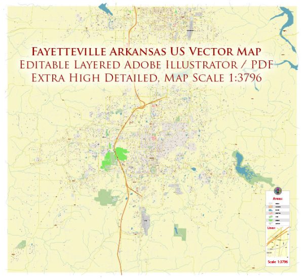
Some information on the current roads and streets infrastructure in Fayetteville, Arkansas. A general overview based on common features found in many U.S. cities.
Vectormap.Net provide you with the most accurate and up-to-date vector maps in Adobe Illustrator, PDF and other formats, designed for editing and printing. Please read the vector map descriptions carefully.
- Street Grid and Layout:
- Fayetteville likely has a grid-based street layout in its downtown area, with streets intersecting at right angles. The grid pattern facilitates navigation and is a common feature in many urban areas.
- Major Highways and Roads:
- Interstate Highways: Fayetteville is likely served by nearby interstate highways. For example, Interstate 49 connects Fayetteville to other cities in Arkansas and extends into neighboring states.
- U.S. Highways: Major U.S. highways may pass through or near Fayetteville, providing important regional connections.
- Local Roads:
- Primary Arterial Roads: These are major roads that connect different parts of the city, facilitate traffic flow, and often have multiple lanes.
- Collector Streets: These streets gather traffic from local roads and feed it into arterial roads.
- Local Streets: Residential and smaller streets that provide access to homes and businesses.
- Public Transportation:
- Fayetteville might have a public transportation system, including buses, to provide residents with an alternative means of transportation.
- Bicycle and Pedestrian Infrastructure:
- Fayetteville may have dedicated bike lanes, pedestrian pathways, and sidewalks to encourage non-motorized transportation.
- Landmarks and Points of Interest:
- Roads leading to significant landmarks, government buildings, educational institutions, and commercial areas are likely well-developed to accommodate traffic.
- Traffic Management:
- Traffic signals, stop signs, and other traffic management infrastructure are in place to ensure the safe and efficient flow of traffic.
- Maintenance and Upkeep:
- Regular maintenance and improvements are essential for a city’s road infrastructure. This includes repaving, repairing, and upgrading roads to meet the growing needs of the community.
- Future Developments:
- City planning departments often have ongoing projects to improve and expand the road network, enhance traffic flow, and address the evolving needs of the community.
For the most accurate and current information, consider checking with local government offices, transportation departments, or online resources specific to Fayetteville, Arkansas.


 Author: Kirill Shrayber, Ph.D.