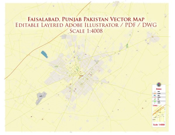
Faisalabad, formerly known as Lyallpur, is one of the major cities in the Punjab province of Pakistan. It is an important industrial and economic center and is often referred to as the “Manchester of Pakistan” due to its significant role in the textile industry.
Vectormap.Net provide you with the most accurate and up-to-date vector maps in Adobe Illustrator, PDF and other formats, designed for editing and printing. Please read the vector map descriptions carefully.
The city has a rich history and a well-developed transportation infrastructure.
History:
- Early History: Faisalabad has a history that dates back to ancient times. The region has been inhabited for centuries, with evidence of human settlement from the time of the Indus Valley Civilization.
- British Era: During the British colonial period, the city was established in 1890 and named Lyallpur after Sir James Lyall, the then Lieutenant Governor of the Punjab. The British introduced modern infrastructure and transformed the area into an agricultural and industrial hub.
- Post-Independence: After the partition of British India in 1947, Lyallpur became part of Pakistan. In 1979, the city was renamed Faisalabad in honor of King Faisal of Saudi Arabia.
Transportation Infrastructure:
- Roads:
- National Highways: Faisalabad is well-connected by a network of national highways. The M-3 Motorway links Faisalabad to Lahore, providing a fast and efficient transportation route.
- Local Roads: The city has an extensive road network with well-maintained streets and avenues, facilitating intra-city transportation.
- Railways:
- Faisalabad is a major railway junction, and the Faisalabad Railway Station is an important transportation hub connecting the city to other major cities in Pakistan, including Lahore, Karachi, Islamabad, and Peshawar.
- Air Transport:
- The Faisalabad International Airport serves as the primary air transportation hub for the city. It provides both domestic and limited international flights, connecting Faisalabad to major cities within Pakistan.
- Public Transport:
- Public transport in Faisalabad includes buses, minibusses, and auto-rickshaws. These modes of transport help residents commute within the city and its surrounding areas.
- Industrial Zones:
- Faisalabad’s transportation infrastructure also caters to its industrial needs. The city has designated industrial zones, and transportation within these zones is facilitated by well-maintained roads and logistics facilities.
- Development Projects:
- The government of Pakistan has initiated various development projects to enhance the transportation infrastructure in Faisalabad. These projects focus on improving road networks, expanding the railway system, and upgrading the airport facilities.
Overall, Faisalabad has evolved into a bustling urban center with a well-connected transportation system that supports its industrial and economic activities. The city continues to play a vital role in Pakistan’s economic landscape.


 Author: Kirill Shrayber, Ph.D.