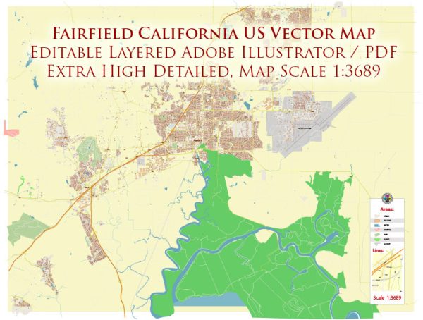
Some information of the roads and streets infrastructure in Fairfield, California. A general overview of what you might find in a typical city’s road infrastructure.
Vectormap.Net provide you with the most accurate and up-to-date vector maps in Adobe Illustrator, PDF and other formats, designed for editing and printing. Please read the vector map descriptions carefully.
- Major Highways and Interstates: Fairfield is situated in Solano County, and several major highways and interstates serve the area. Interstate 80 (I-80) is a significant east-west highway connecting the city to other parts of Northern California. Additionally, State Route 12 (SR 12) and Interstate 680 (I-680) are important routes in the region.
- Arterial Roads: The city typically has a network of arterial roads that connect different neighborhoods and commercial areas. These roads often facilitate the flow of traffic within the city and connect to major highways.
- Local Streets: Local streets form the grid-like pattern in most residential and commercial areas. These streets provide access to individual properties and connect to larger roads.
- Public Transportation: Fairfield may have a public transportation system, which could include buses or other modes of public transit. Transit routes are designed to serve key areas within the city and may connect to neighboring communities.
- Bicycle and Pedestrian Infrastructure: Some cities focus on providing infrastructure for non-motorized transportation. This includes bike lanes, sidewalks, and pedestrian-friendly crossings. Fairfield may have such features to encourage walking and cycling.
- Traffic Management: Traffic signals, stop signs, and other traffic management tools are installed at intersections to regulate the flow of traffic and ensure safety. The city may also implement traffic calming measures in residential areas.
- Infrastructure Maintenance: Regular maintenance of roads is crucial to ensure their longevity. This includes resurfacing, pothole repair, and other maintenance activities to keep the infrastructure in good condition.
- Development and Expansion: Cities often plan for the future by expanding and improving their road infrastructure. This may involve the construction of new roads, widening existing ones, and implementing traffic management strategies to accommodate population growth and economic development.
For the most current and detailed information about Fairfield’s roads and streets infrastructure, I recommend checking with local government sources, such as the city’s public works department or transportation department. They should be able to provide the latest information, road projects, and future plans for the city’s infrastructure.


 Author: Kirill Shrayber, Ph.D. FRGS