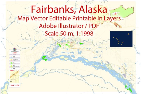
Fairbanks, Alaska, located in the central part of the state, has a rich history shaped by its geographical location, natural resources, and strategic importance. The transportation infrastructure of Fairbanks has played a crucial role in its development and connectivity to the rest of Alaska and the United States.
Vectormap.Net provide you with the most accurate and up-to-date vector maps in Adobe Illustrator, PDF and other formats, designed for editing and printing. Please read the vector map descriptions carefully.
History:
- Gold Rush Era (1902-1920s):
- Fairbanks owes its early growth to the discovery of gold in the area in 1902. The gold rush attracted prospectors and settlers, leading to the establishment of Fairbanks as a trading and supply hub.
- The sternwheeler steamboats on the Chena River played a vital role in transporting people and goods during this era.
- Railroad Development (1905-1923):
- The Alaska Railroad, which began construction in 1915, reached Fairbanks in 1923. This connection significantly enhanced transportation and helped in the efficient movement of goods and people between Fairbanks and the coastal areas.
- Military Influence (World War II):
- Fairbanks became an important military transportation hub during World War II. The construction of the Alaska Highway in 1942 connected Fairbanks to the contiguous United States, improving accessibility and strategic importance.
- Oil Discovery (1968):
- The discovery of oil in Prudhoe Bay in 1968 brought economic prosperity to Alaska and, consequently, to Fairbanks. The Trans-Alaska Pipeline, completed in 1977, further solidified Fairbanks’ role as a transportation and logistical center for the oil industry.
Transportation Infrastructure:
- Alaska Railroad:
- The Alaska Railroad, extending from Seward to Fairbanks, serves as a vital rail link for transporting goods and passengers. It plays a key role in connecting Fairbanks to the broader rail network in Alaska.
- Fairbanks International Airport:
- Fairbanks International Airport is a major air transportation hub. It provides both domestic and international flights, supporting passenger travel and cargo transportation. The airport is a crucial link for communities in interior Alaska.
- Roads:
- Fairbanks is connected to other parts of Alaska and North America through a network of roads. The Richardson Highway, George Parks Highway, and Steese Highway are important routes connecting Fairbanks to Anchorage and other regions.
- Chena River:
- Though not as prominent today, the Chena River still serves as a waterway for recreational purposes and plays a historical role in the transportation of goods and people.
- Pipelines:
- The Trans-Alaska Pipeline System (TAPS) passes through Fairbanks, transporting oil from the North Slope to the port of Valdez. This pipeline has been a critical element in Alaska’s economy and has influenced Fairbanks’ development.
Fairbanks’ transportation infrastructure continues to evolve, supporting its role as a regional economic center and providing crucial connections to the rest of Alaska and the United States. The history and development of transportation in Fairbanks reflect the city’s resilience and adaptability in the face of changing economic and geopolitical landscapes.


 Author: Kirill Shrayber, Ph.D. FRGS