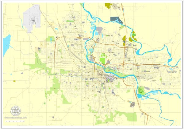
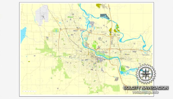
A general information about Eugene, Oregon. However, please note that specific details such as main coordinates, total area, and street information may have changed since then.
Vectormap.Net provide you with the most accurate and up-to-date vector maps in Adobe Illustrator, PDF and other formats, designed for editing and printing. Please read the vector map descriptions carefully.
Main Coordinates (Approximate):
- Latitude: 44.0521° N
- Longitude: 123.0868° W
Total Area (City of Eugene):
- Eugene covers an approximate area of 44.04 square miles (113.99 square kilometers).
Main Streets and Roads:
- Eugene has a network of streets and roads that serve the city. Some notable streets and roads include:
- Interstate 5 (I-5): A major north-south freeway passing through Eugene.
- Oregon Route 126: Connects Eugene to the Pacific Ocean and central Oregon.
- Franklin Boulevard: A significant east-west road, especially near the University of Oregon campus.
- Coburg Road: A major road running north-south in the eastern part of the city.
- 6th and 7th Avenues: Important east-west routes in the downtown area.
For the most current and detailed information, consider checking with local authorities, maps, or online mapping services. Additionally, the City of Eugene’s official website or the Oregon Department of Transportation can provide updated information about the city’s infrastructure and road network.


 Author: Kirill Shrayber, Ph.D. FRGS