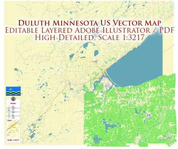
A general overview of the economic and transportation aspects of Duluth, Minnesota, in the United States.
Vectormap.Net provide you with the most accurate and up-to-date vector maps in Adobe Illustrator, PDF and other formats, designed for editing and printing. Please read the vector map descriptions carefully.
Economic Overview:
Diversified Economy:
Duluth has a diversified economy that includes sectors such as shipping, manufacturing, healthcare, education, and tourism.
Shipping and Maritime Industry:
Duluth is strategically located on the western tip of Lake Superior and is a major port for shipping. The Port of Duluth-Superior is one of the largest inland ports in the United States, handling a variety of bulk commodities, including iron ore, coal, grain, and general cargo.
Manufacturing:
Manufacturing plays a significant role in Duluth’s economy, with industries like aerospace, paper, wood products, and machinery contributing to the local economy.
Healthcare and Education:
Duluth is home to medical facilities, including the Essentia Health and St. Luke’s Hospital. The city also hosts the University of Minnesota Duluth (UMD) and the College of St. Scholastica.
Tourism:
Tourism is another important economic factor. The city attracts visitors with its natural beauty, including Lake Superior, the North Shore, and recreational opportunities like hiking, skiing, and water sports.
Technology and Innovation:
Efforts have been made to promote technological and innovative sectors in the region, fostering entrepreneurship and business development.
Transportation Overview:
Port and Maritime Transportation:
The Port of Duluth-Superior is a vital part of the city’s transportation infrastructure, connecting the region to the Great Lakes and global markets. It facilitates the shipping of bulk goods, including iron ore, which is a crucial component of the local economy.
Rail Transportation:
Duluth is well-connected by rail, with several railroads serving the area. This facilitates the transportation of goods to and from the city’s port and contributes to the overall efficiency of the transportation network.
Road Transportation:
The city is served by a network of roads and highways, including Interstate 35, which connects Duluth to the Twin Cities and other parts of the region. Local and regional roadways support the movement of goods and people within the city and its surrounding areas.
Air Transportation:
Duluth International Airport provides air transportation services for the region. It facilitates both passenger and cargo flights, connecting Duluth to domestic and international destinations.
Recent Developments:
Since my last update in January 2022, there may have been new developments in Duluth’s economy and transportation infrastructure. It’s advisable to check more recent sources for the latest information on the city’s economic and transportation landscape.


 Author: Kirill Shrayber, Ph.D.