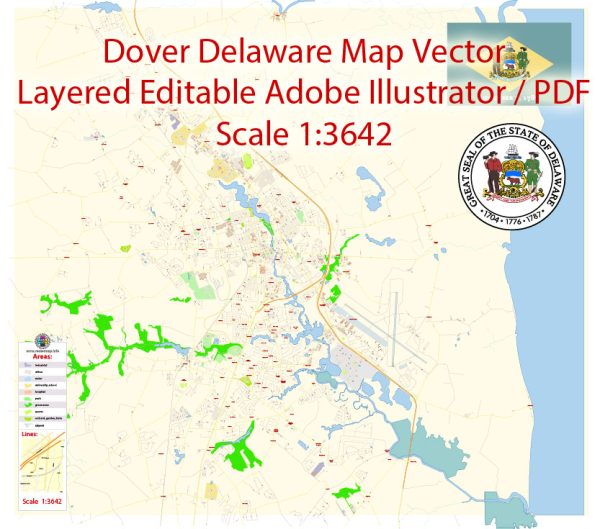
Dover, Delaware, a general overview based on historical data.
Vectormap.Net provide you with the most accurate and up-to-date vector maps in Adobe Illustrator, PDF and other formats, designed for editing and printing. Please read the vector map descriptions carefully.
Economic Overview:
1. Diverse Economy:
- Dover, the capital of Delaware, has a diverse economy with contributions from sectors like government, education, healthcare, and manufacturing.
- The presence of government offices and institutions, including the Delaware State Capitol, contributes significantly to the local economy.
2. Government and Military Presence:
- Dover Air Force Base is a major economic driver for the region, providing employment opportunities and supporting various businesses.
3. Education and Healthcare:
- The city is home to Delaware State University, which plays a role in the local economy through education and research activities.
- Healthcare services, including Bayhealth Medical Center, also contribute to the economic landscape.
4. Manufacturing and Commerce:
- Manufacturing activities, such as food processing and machinery production, have been part of Dover’s economic base.
- Commercial enterprises and small businesses also contribute to the economic vitality of the city.
Transportation Overview:
1. Roadways:
- Dover is well-connected by a network of roads and highways, including Route 1 and Route 13.
- Route 1 is a major north-south highway that connects Dover to Wilmington and other parts of Delaware.
2. Air Travel:
- Dover International Airport serves the region, supporting both military and civilian air travel.
- The airport plays a crucial role in military transportation and contributes to the overall connectivity of the area.
3. Public Transportation:
- Public transportation options include bus services provided by Delaware Transit Corporation (DART), connecting Dover to other parts of the state.
4. Railways:
- Dover is served by freight rail services, contributing to the transportation of goods in and out of the region.
5. Port Facilities:
- While Dover is not a coastal city, its proximity to the Delaware Bay allows for access to maritime transportation through nearby ports.
6. Accessibility:
- The city’s central location within the state makes it accessible for both residents and businesses, contributing to its economic significance.
7. Future Developments:
- It’s essential to stay informed about any ongoing or planned transportation and economic development projects, as these can significantly impact the city’s infrastructure and connectivity.
For the most up-to-date and detailed information, consider consulting local government reports, economic development agencies, and transportation authorities in Dover, Delaware.


 Author: Kirill Shrayber, Ph.D. FRGS