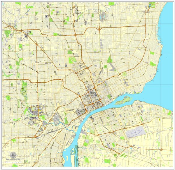
Detroit, Michigan, has a rich industrial history closely tied to the rise of the automobile industry in the early 20th century.
Vectormap.Net provide you with the most accurate and up-to-date vector maps in Adobe Illustrator, PDF and other formats, designed for editing and printing. Please read the vector map descriptions carefully.
Here’s a detailed overview of the industrial history and road system in Detroit:
Industrial History:
- Early Industrialization: Detroit’s industrial history can be traced back to the early 19th century when it became a major center for trade and manufacturing. The city’s proximity to the Great Lakes and its access to water transportation facilitated the growth of industries such as shipbuilding and milling.
- Automobile Industry Boom: Detroit’s most significant industrial transformation came with the rise of the automobile industry in the early 20th century. The city became known as the “Motor City” due to the presence of major automotive companies like Ford, General Motors, and Chrysler. Henry Ford’s introduction of assembly line production in the early 20th century revolutionized manufacturing and led to the mass production of automobiles.
- World War II and Industrial Expansion: During World War II, Detroit played a crucial role in the war effort by shifting its industrial capacity to produce military vehicles, aircraft, and other war-related goods. This further solidified the city’s reputation as a manufacturing powerhouse.
- Post-War Prosperity and Challenges: After the war, Detroit experienced a period of economic prosperity, with the automotive industry at its peak. However, the city also faced challenges, including racial tensions, suburbanization, and economic shifts that impacted traditional industries.
- Decline of the Auto Industry: The latter half of the 20th century saw the decline of the American automobile industry. Factors such as increased global competition, changing consumer preferences, and economic downturns led to the downsizing of automotive plants and a decline in manufacturing jobs.
- Urban Decay and Revitalization Efforts: Detroit faced significant challenges in the latter part of the 20th century and early 21st century, including urban decay, population decline, and financial struggles. However, in recent years, there have been efforts to revitalize the city, with a focus on diversifying the economy, attracting technology and creative industries, and improving infrastructure.
Road System:
- Early Roads and Infrastructure: Detroit’s road system has its roots in the early 19th century when the city was initially settled. As the population grew, roads expanded to accommodate the increasing traffic. Woodward Avenue, one of Detroit’s main thoroughfares, was among the earliest roads.
- Automobile Influence on Roads: With the rise of the automobile industry, the demand for better roads increased. Michigan became a pioneer in developing a state highway system, and Detroit played a crucial role in the development of these roads to support the automotive industry.
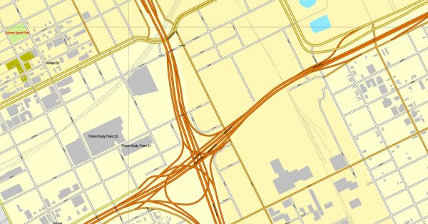
- Interstate System: The construction of the Interstate Highway System in the mid-20th century further shaped Detroit’s road infrastructure. Highways like I-75, I-94, and I-96 became vital arteries connecting Detroit to other cities and regions.
- Urban Freeways and Suburbanization: The development of urban freeways in the mid-20th century facilitated suburbanization, as improved transportation allowed people to live farther from the city center and commute. This contributed to the decline of the city’s population and the challenges faced in subsequent decades.
- Infrastructure Challenges: In recent years, Detroit has faced challenges related to infrastructure, including aging roads and bridges. Efforts have been made to address these issues through infrastructure investment and improvement projects.
Overall, Detroit’s industrial history and road system are intertwined with the rise and fall of the automotive industry, reflecting broader economic and societal changes over the years. The city’s ongoing revitalization efforts include a focus on modernizing infrastructure to support future growth and development.


 Author: Kirill Shrayber, Ph.D.