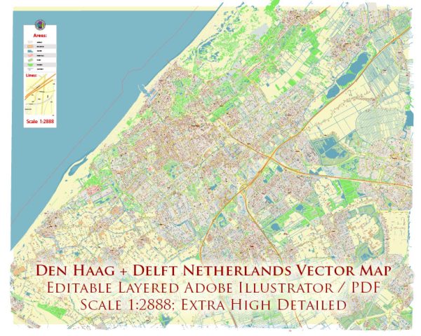
Den Haag (The Hague) and Delft are two cities in the western part of the Netherlands, both located in the province of South Holland. They are relatively close to each other and are well-connected in terms of both economic and transport infrastructure.
Vectormap.Net provide you with the most accurate and up-to-date vector maps in Adobe Illustrator, PDF and other formats, designed for editing and printing. Please read the vector map descriptions carefully.
Economic Connections:
- Government and International Organizations:
- Den Haag is the political capital of the Netherlands and home to the Dutch government, parliament, and the royal family. It hosts numerous international organizations, including the International Court of Justice and the International Criminal Court.
- The presence of these governmental and international institutions in Den Haag contributes significantly to the city’s economic landscape.
- Business and Innovation:
- Both Den Haag and Delft have a vibrant business environment. Den Haag hosts a mix of international businesses, financial institutions, and startups, while Delft is known for its technological and innovative ecosystem, including the renowned Delft University of Technology (TU Delft).
- The presence of TU Delft fosters innovation and collaboration between academia and industry, attracting businesses interested in cutting-edge technologies.
- Tourism:
- Den Haag is a popular tourist destination, attracting visitors with its historical sites, museums, and cultural events.
- Delft, with its picturesque canals, historic architecture, and the famous Delftware pottery, is also a significant tourist attraction.
Transport Connections:
- Road Network:
- The cities are well-connected by road. The A13 highway runs between Rotterdam and Den Haag, passing through Delft. This provides a convenient route for commuting and transporting goods between these cities and the surrounding areas.
- Public Transportation:
- Both Den Haag and Delft are well-served by public transportation, including buses and trains.
- The Nederlandse Spoorwegen (NS) railway connects Den Haag and Delft, providing frequent and efficient train services. The journey between these cities is relatively short, making it convenient for daily commuters and travelers.
- Cycling Infrastructure:
- The Netherlands is known for its cycling-friendly infrastructure, and both Den Haag and Delft are no exception. Cycling is a popular mode of transportation, and there are well-maintained cycling paths connecting the two cities.
- Trams:
- Den Haag has an extensive tram network, and Delft is connected to this network. Trams provide an additional means of public transportation, making it easy for residents and visitors to travel between the cities.
In summary, Den Haag and Delft are economically and transportationally linked through a combination of governmental, business, and academic connections, as well as a well-developed network of roads and public transportation options. These factors contribute to a dynamic and integrated regional economy.


 Author: Kirill Shrayber, Ph.D.